


Article Schlumberger partners with TGS, CGG and PGS on the Versal unified seismic data ecosystem
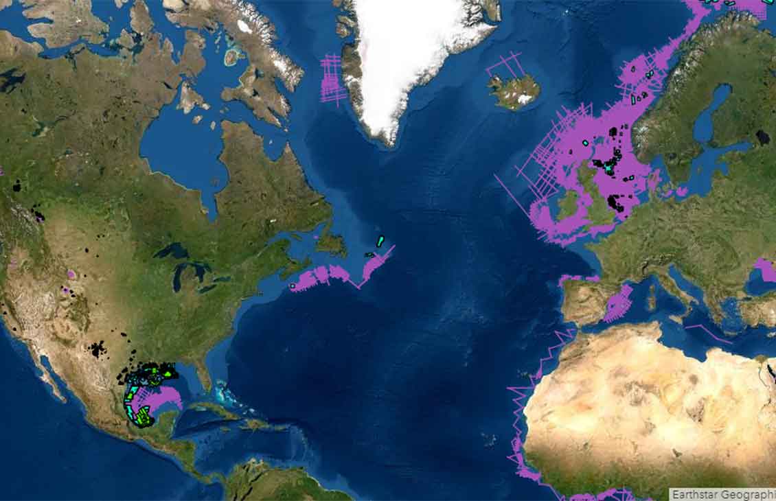
PGS, TGS and CGG, industry leaders of multi-client geoscience data, announce that Schlumberger has become a part of Versal, increasing its coverage to more than [90]% of the world’s multi-client seismic data.