Petrel petrophysical modeling
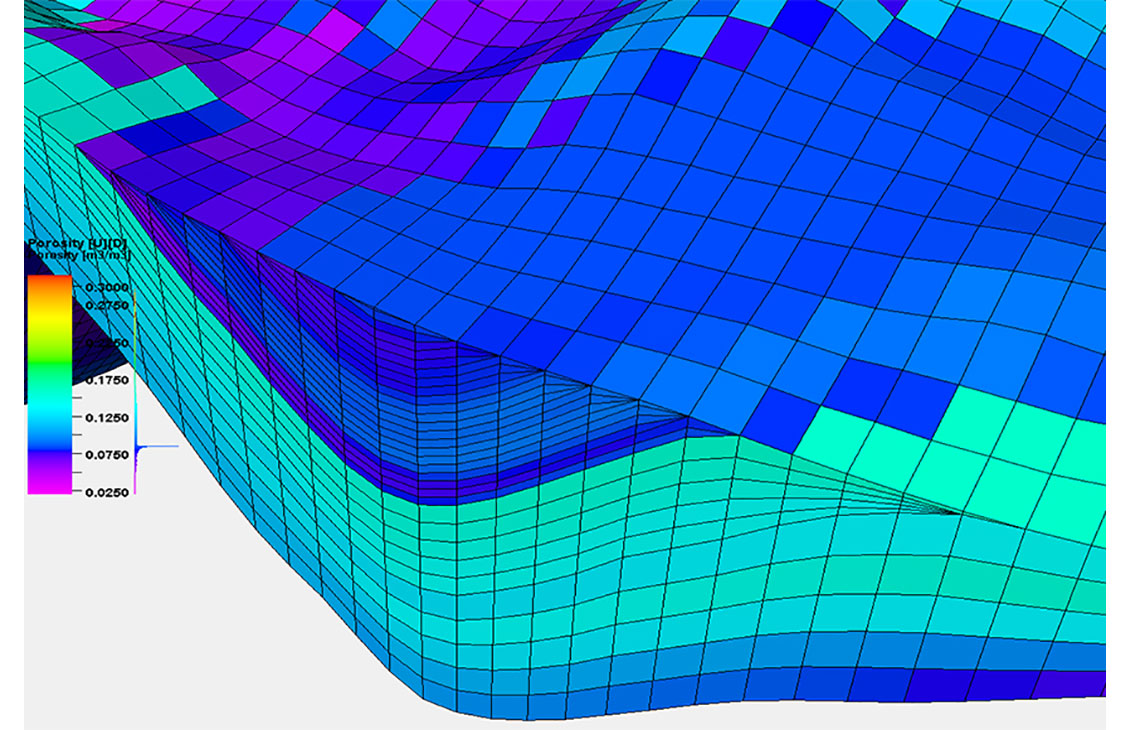
Build accurate petrophysical models
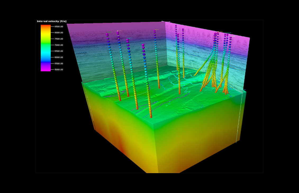
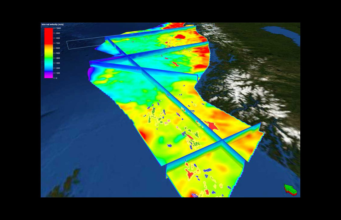
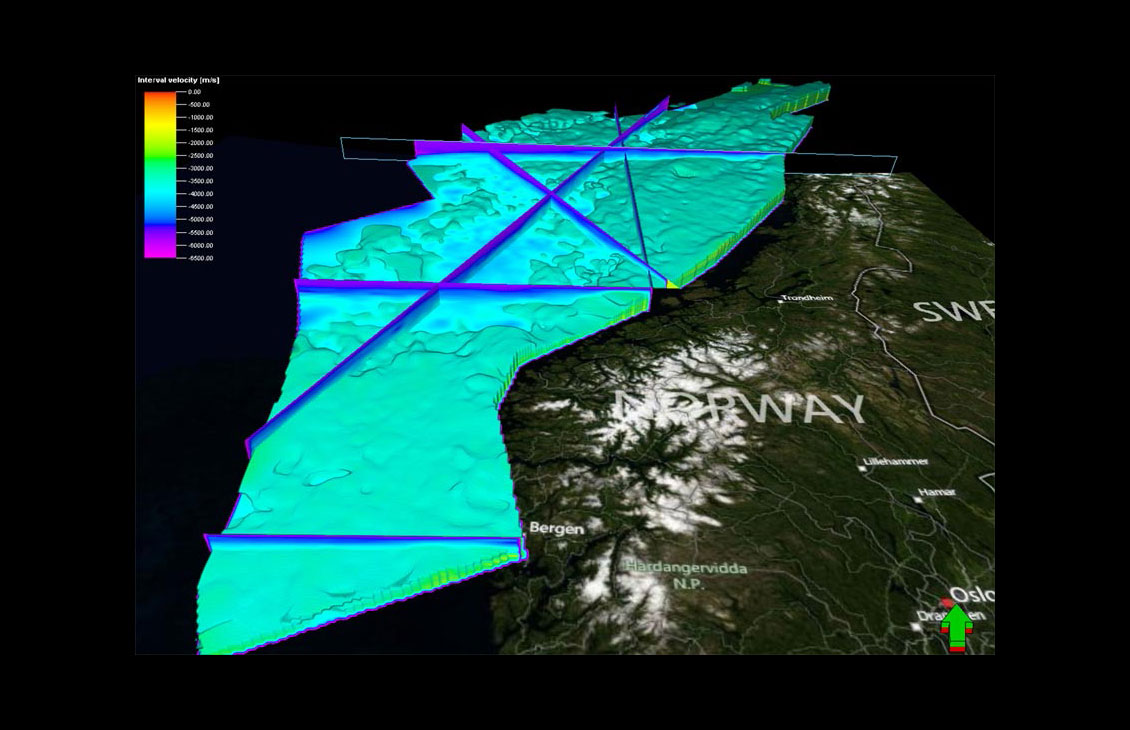
Petrel™ domain conversion enables quick generation of velocity models based on different types of velocity data.

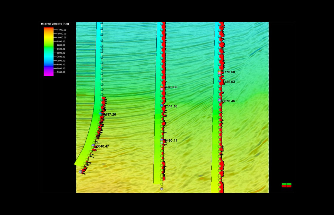
Multiple velocity models can be built to test different velocity parameter scenarios and obtain a better understanding of the structural uncertainty.

NExT training courses address the unique needs of each learner. Our courses, led by distinguished experts in their fields, equip learners with the skills to address practical situations and resolve real-world challenges.
Advanced train estimation tools and trend modeling.
Accurate velocity modeling and domain conversion

Integrate Omega platform data and extend workflows for a unified, reliable earth model
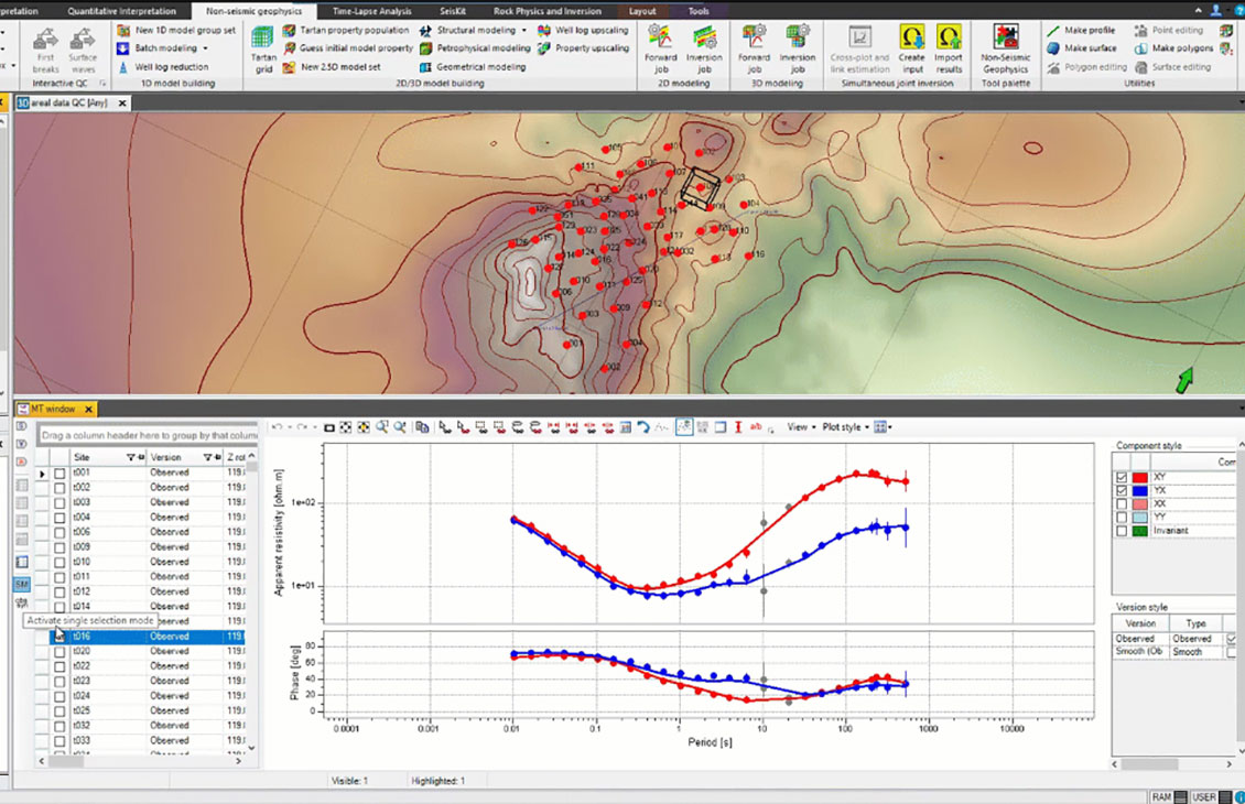
Integrated processing and modeling capabilities for magnetotelluric, controlled-source electromagnetic, and gravity and magnetic methodologies
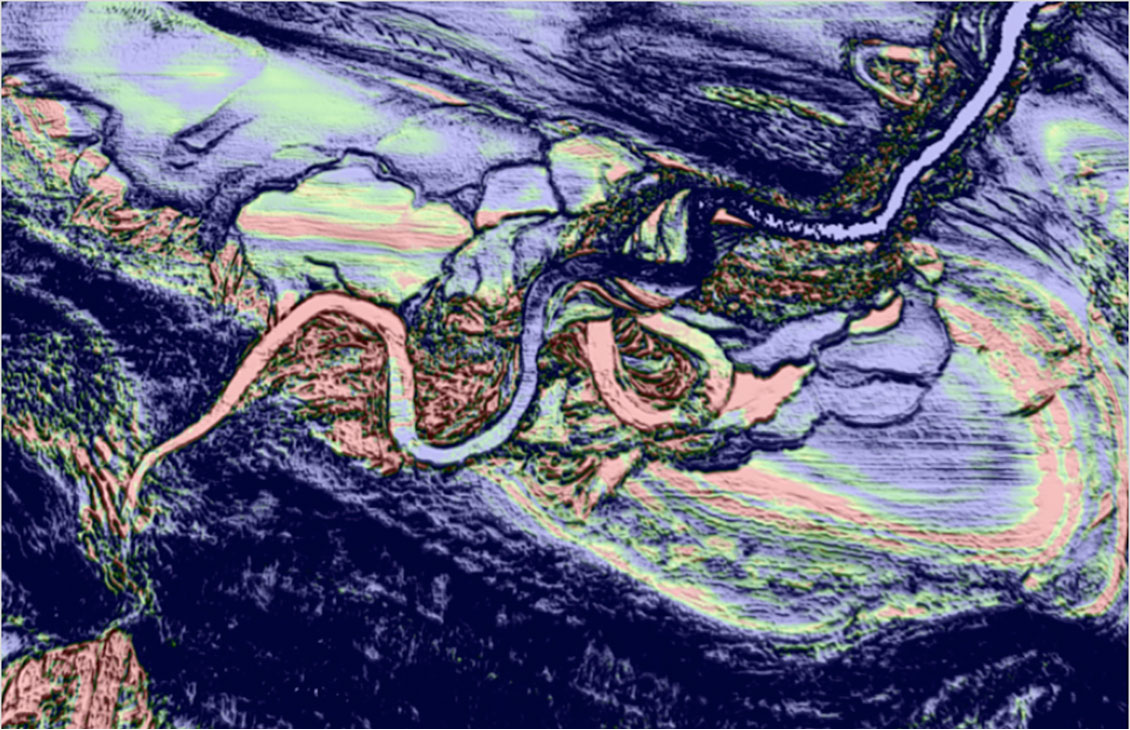
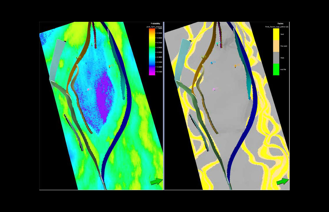
Create advanced seismic attributes to condition seismic data for better structural and stratigraphic interpretation tasks as well as enable powerful 3D volume interpretation workflows.
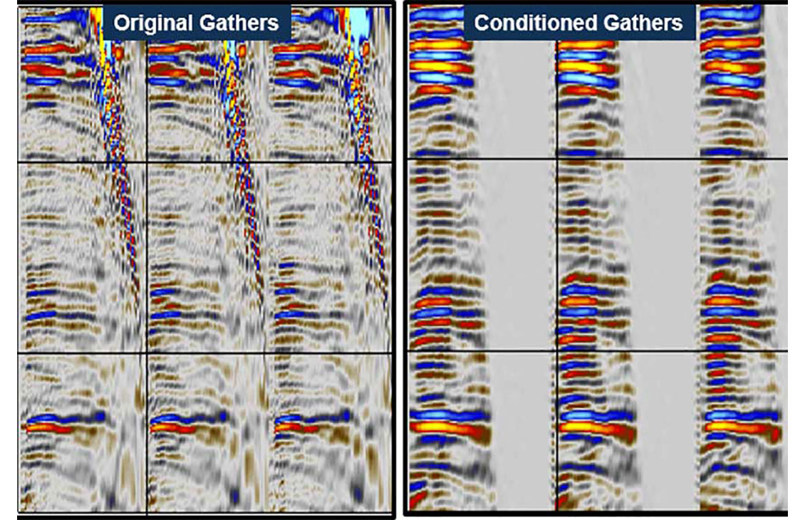
Prestack seismic visualization, interpretation, and processing
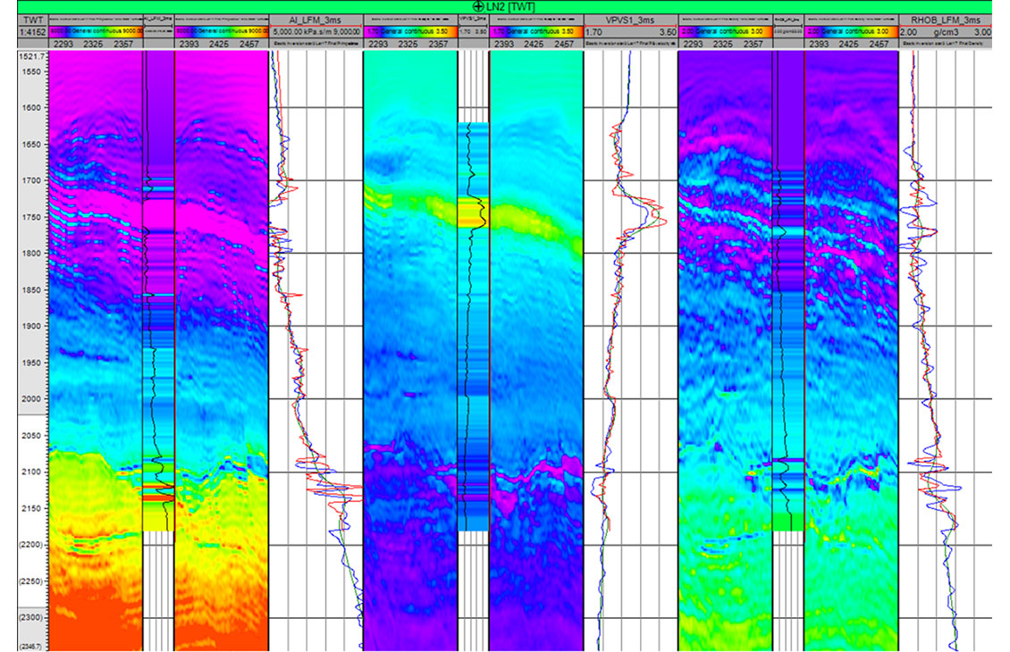
Accurate and comprehensive quantitative interpretation
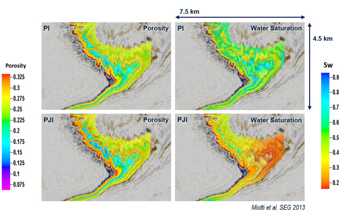
Modeling and inversion tools for advanced, efficient reservoir characterization
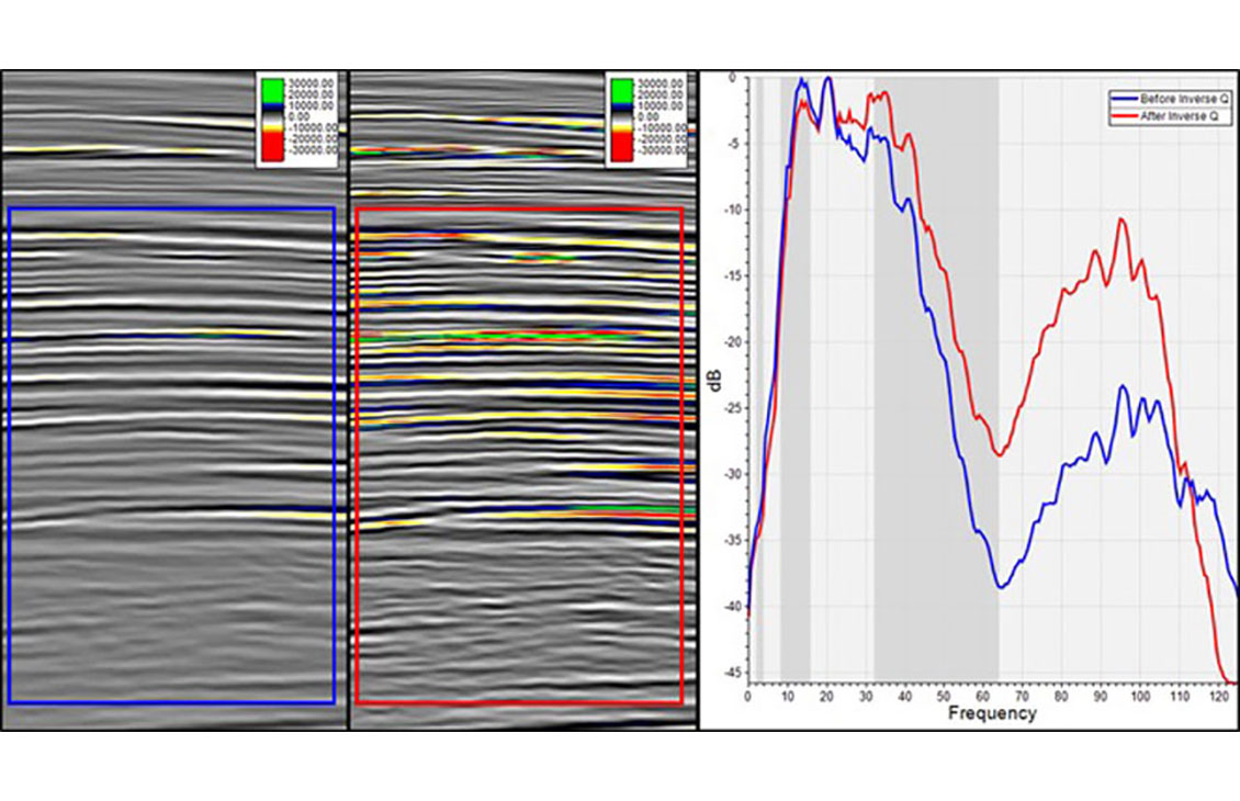
Spectral analysis, filtering, bandwidth extension, and amplitude gain for faster QC and image enhancement in the Petrel platform
A responsive and flexible environment for 3D and 2D interpretation
Resample seismic volumes and geobodies as properties into 3D grids

Seismic survey design and analysis
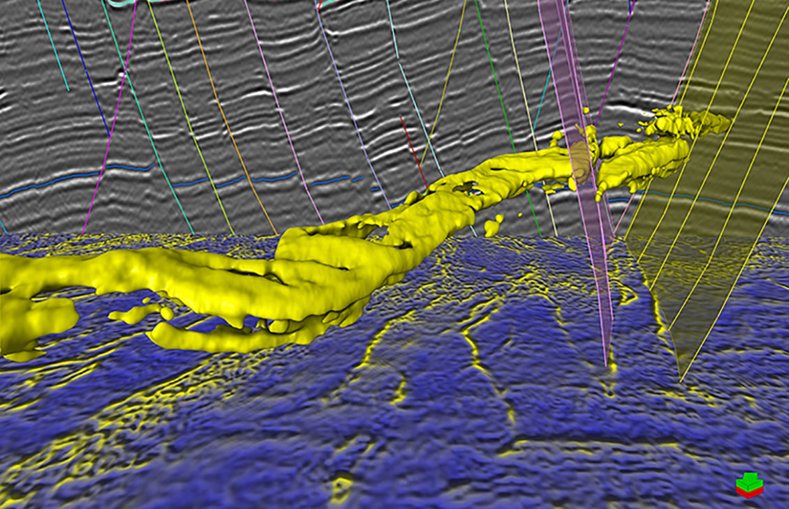
A fast, intuitive, and accurate approach to volume interpretation
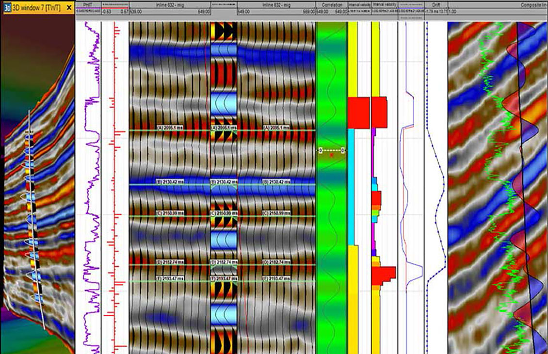
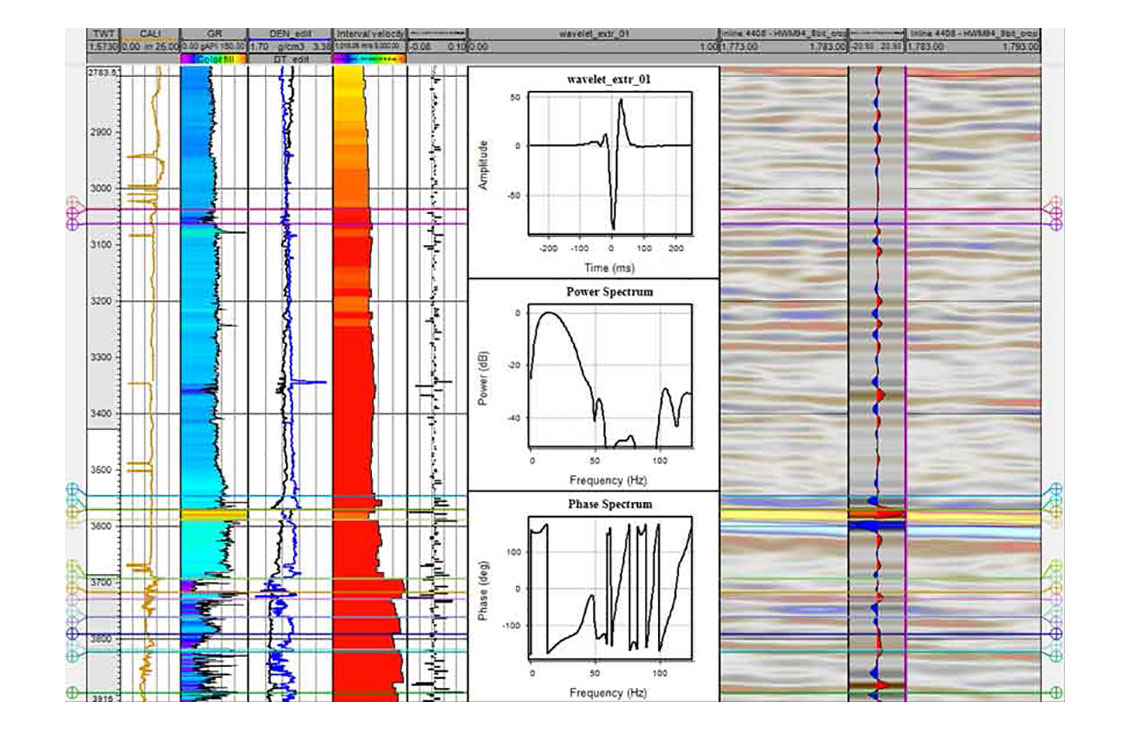
Comprehensive and robust seismic well tie
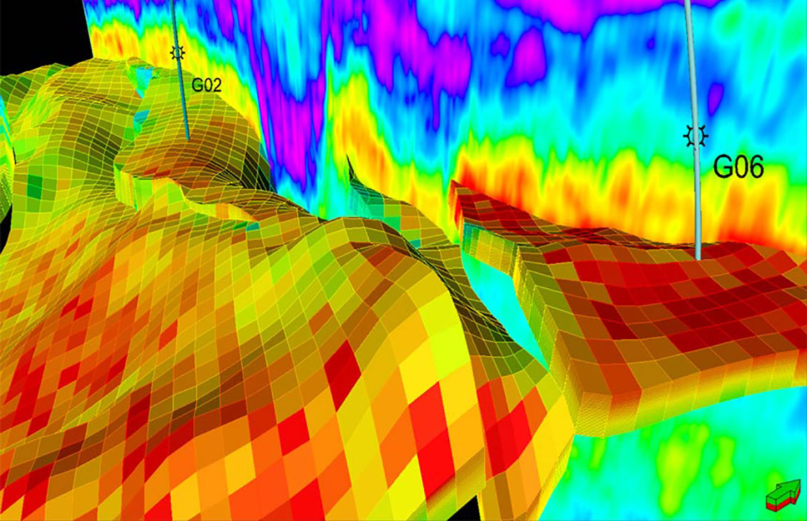
Analysis of fault sealing capabilities and mapping QC tools
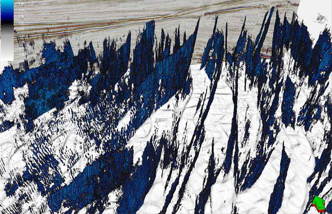
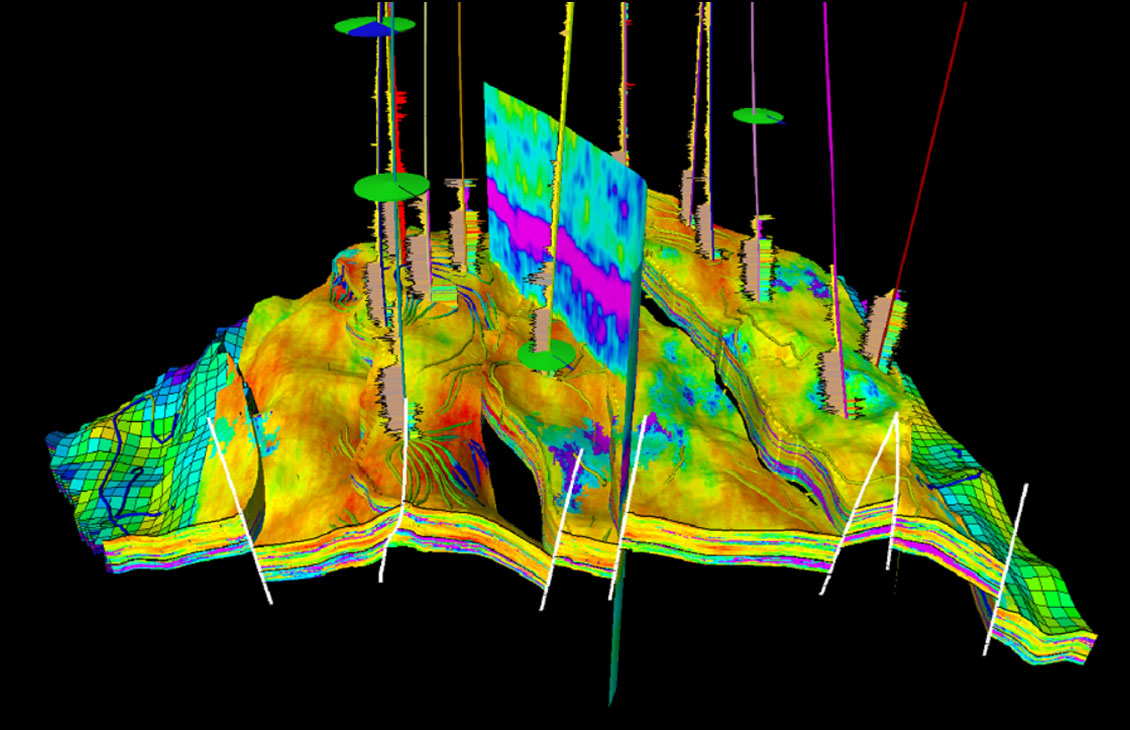
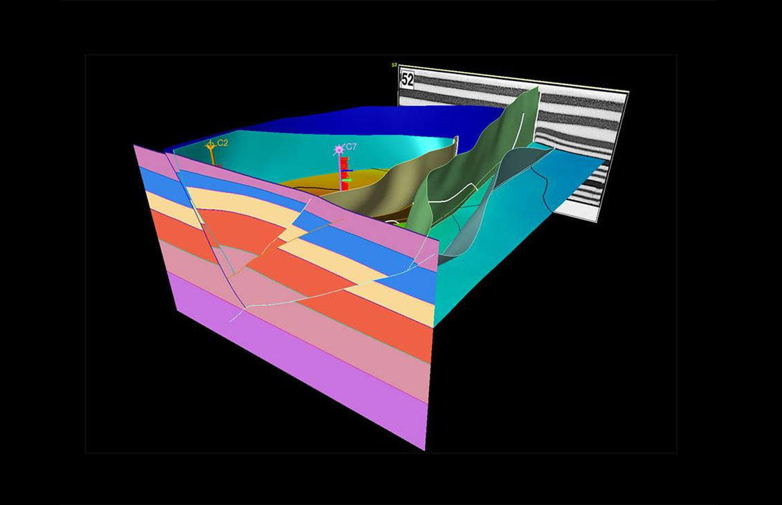
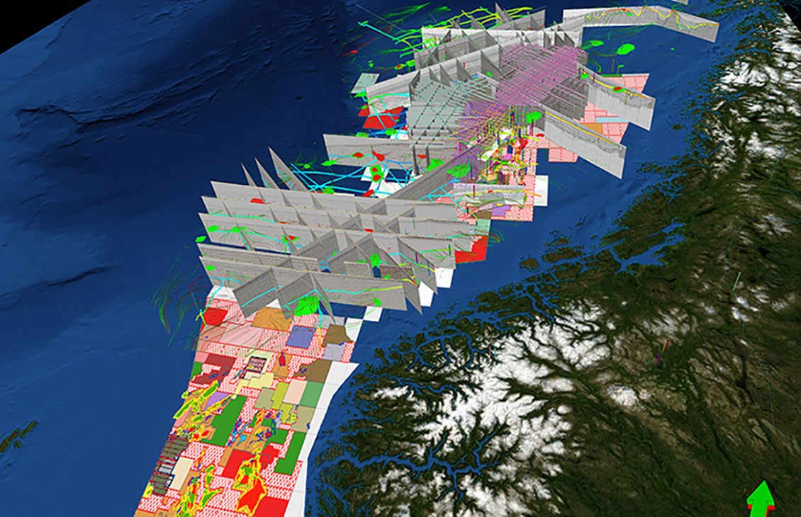
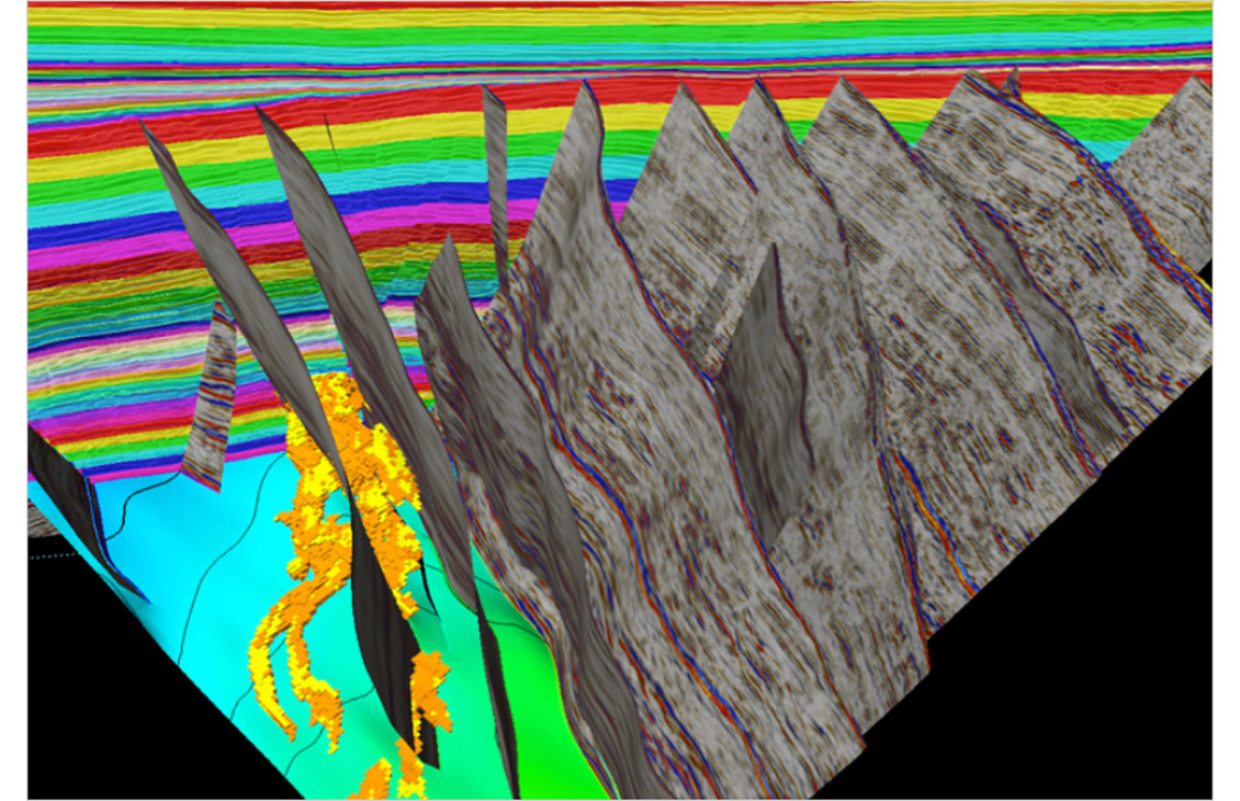
Fast, accurate structural interpretation workflow that reduces interpretation uncertainty and delivers a confident, validated structural framework of the subsurface
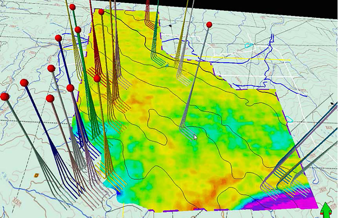
Display scanned maps, attribute maps, seismic time slices, and satellite images, draped over surfaces