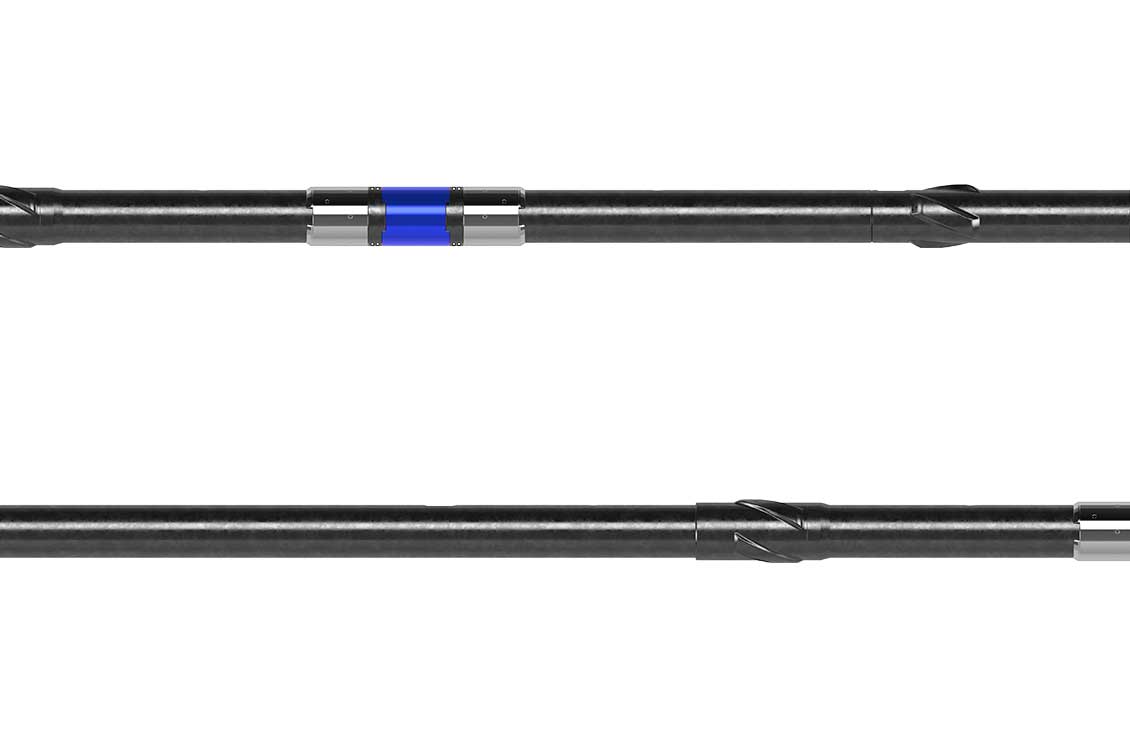
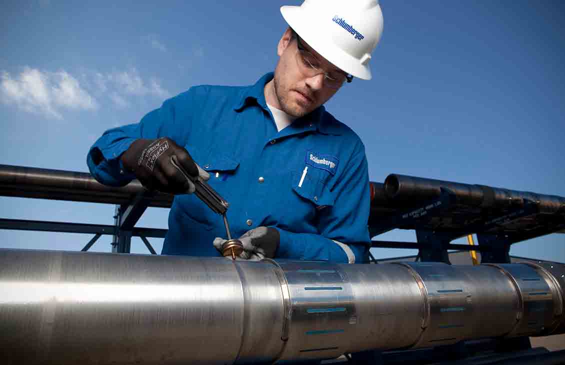
Logging-while-drilling services
Acquire high-quality data while drilling

Fast, high-quality data for accurate geosteering and formation evaluation
Increase ROP, improve wellbore stability and hole quality, and optimize well placement and reservoir exposure for maximum production—faster.
As the industry leader in logging-while-drilling (LWD) technology, SLB creates advanced LWD services that acquire high-quality data for accurate geosteering and more-informed formation evaluation, so you can work proactively as you drill.

Formation evaluation
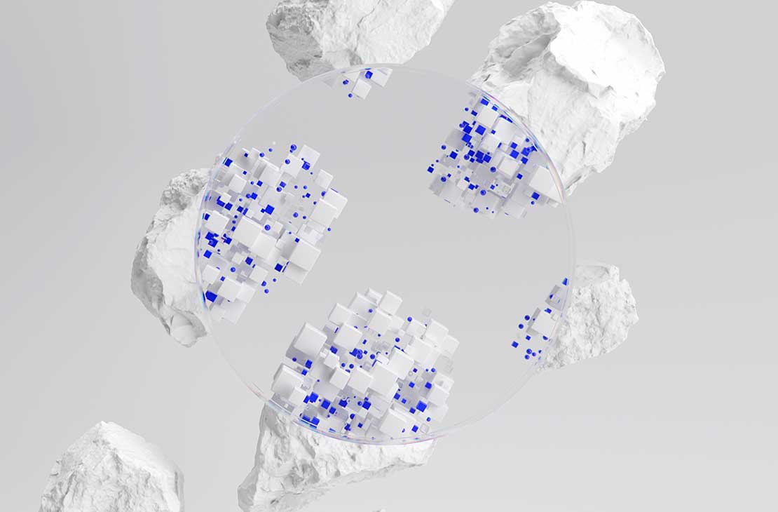
Automated Lithology increases effectiveness of formation evaluation.
Automated Lithology increases effectiveness of formation evaluation
Geosteering and reservoir mapping while drilling
Large-scale mapping of reservoir geometry, quality, and productivity
Reveal multiple formation boundary layers and fluid contacts
Optimize well landing and increase reservoir exposure
-
GeoSphere HD
High-definition reservoir mapping-while-drilling serviceMap a depth of investigation that exceeds 250 ft—industry’s largest—covering the widest range of environments.
-

PeriScope Edge
Multilayer mapping-while-drilling serviceAchieve the highest confidence for precision steering decisions in razor-thin reservoirs.
-
SpectraSphere
Fluid mapping-while-drilling serviceMap reservoir fluid composition and distribution to maximize reservoir exposure.
-
AlphaSight油藏描绘服务
主动应对各种电阻率环境下的复杂油藏AlphaSight Service provides superior measurement sensitivity and certainty for confident reservoir mapping.
Reservoir engineering while drilling
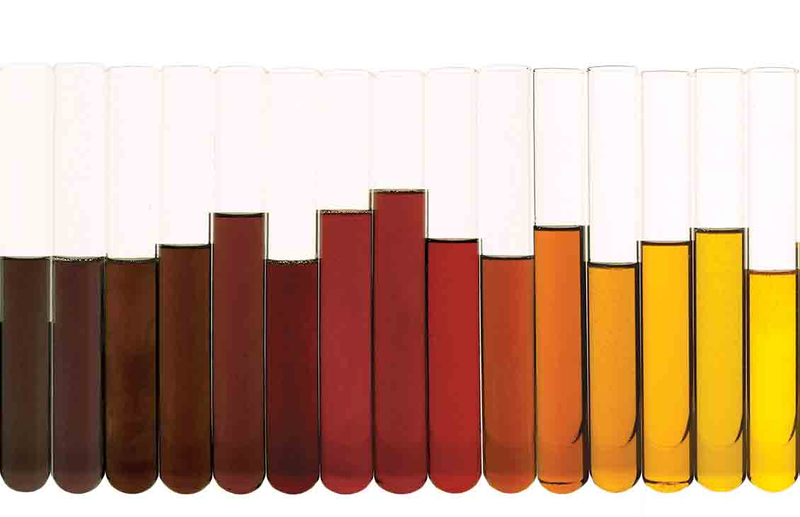
Formation pressure and fluids
Measure formation pressure for accurate formation evaluation, geosteering, and pore pressure prediction models
Identify pressure-depleted formations to avoid lost time and help preserve pressure zones
-
StethoScope Ultra
Intelligent formation pressure-while-drilling serviceEnabling real-time pressure measurements for immediate decision making in challenging reservoir environments
-
SpectraSphere
Fluid mapping-while-drilling serviceMap reservoir fluid composition and distribution to maximize reservoir exposure.
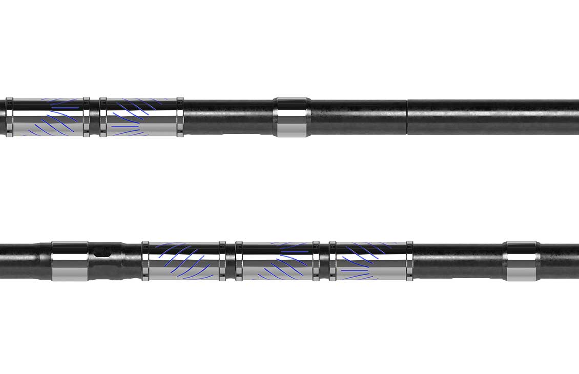
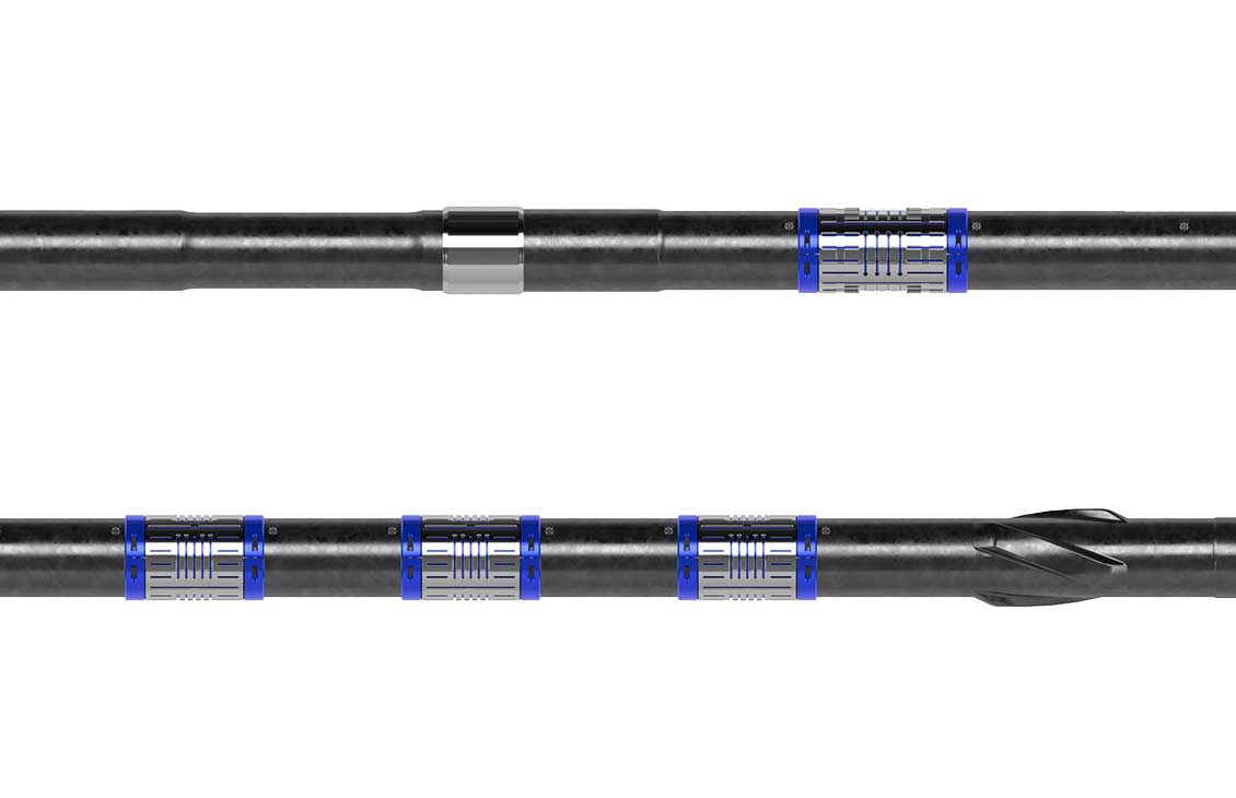
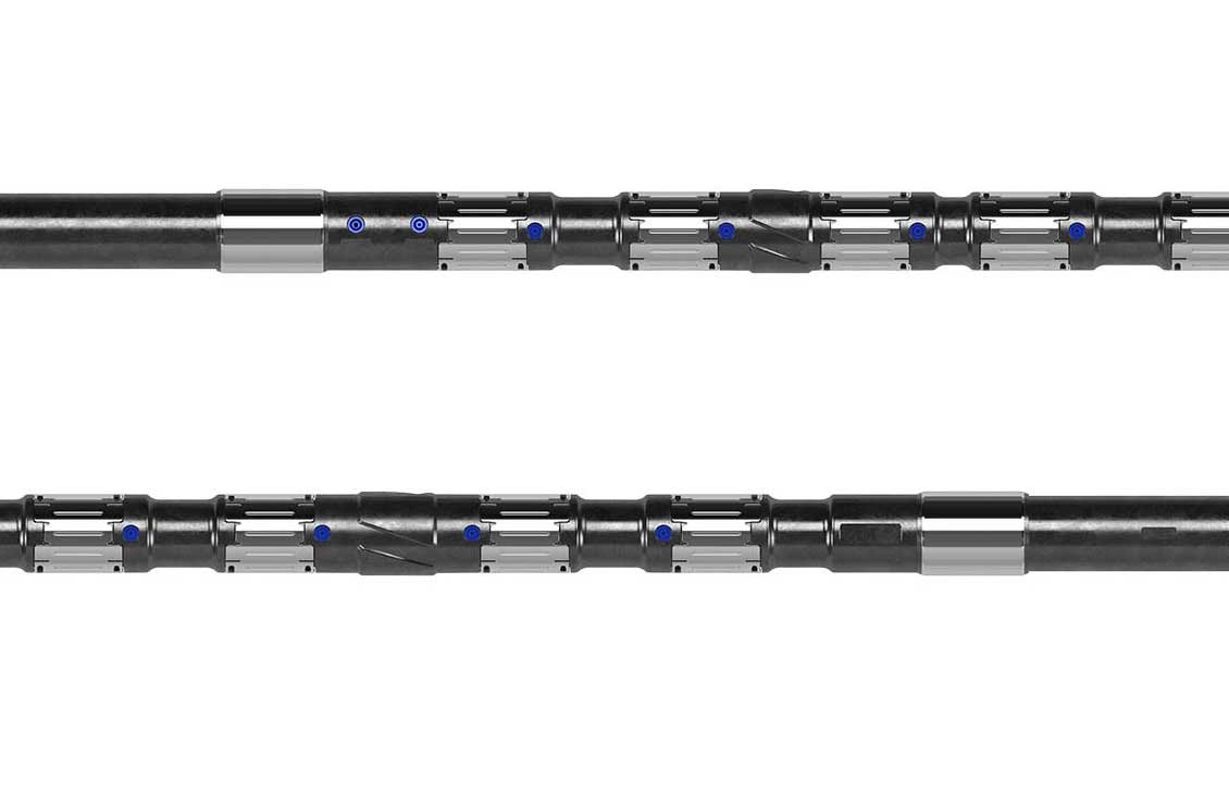
Petrophysics and geology while drilling
Lithology, porosity, saturation, permeability, structure, and stratigraphy
Evaluate lithology, porosity, saturation, and permeability
Perform quantitative reservoir evaluation with measurements of petrophysical properties
Gather comprehensive datasets for formation evaluation, drilling optimization, and well placement
Identify dipping beds, faults, and fractures
-
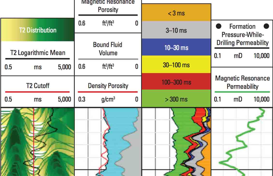
MagniSphere Service
Sourceless, real-time NMR data for accurate and precise reservoir characterizationMagniSphere high-definition NMR logging-while-drilling delivers sourceless, real-time NMR data.
-
OmniSphere
Slimhole petrophysics evaluation-while-drilling serviceGet real-time insight into the mineral composition of formations and continuous-circulation directional survey service and pumps-off surveying.
-
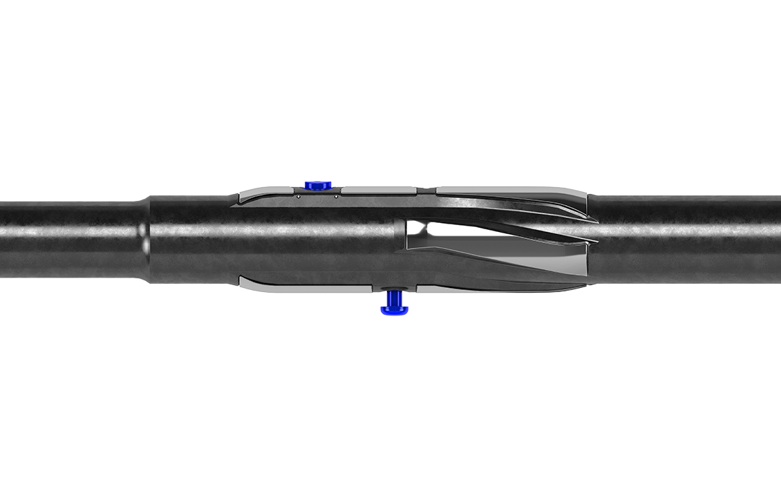
EcoScope
Multifunction logging-while-drilling serviceObtain resistivity, neutron porosity, azimuthal gamma ray, density, elemental capture spectroscopy, and sigma measurements and borehole imaging—all in one collar.
-

adnVISION
Azimuthal density neutron serviceCharacterize formation porosity and lithology while drilling with azimuthal density measurements (ADN).
-
arcVISION
Array resistivity compensated serviceBenefit from real-time resistivity, gamma ray, inclination, and annular pressure data.
-
proVISION Plus
Magnetic resonance-while-drilling serviceAchieve accurate lithology-independent porosity and continuous permeability in real time.
-

SonicScope
Multipole sonic-while-drilling serviceRealize the benefits of real-time multipole sonic data for advanced risk mitigation, cement evaluation, formation evaluation, and completion design.
-

TerraSphere
High-definition dual-imaging-while-drilling serviceProvides complete reservoir geological description in oil-based mud environments.
-
ResSight
High-accuracy resistivity LWD serviceMultifrequency borehole compensated and accurate resistivity measurements at high temperature
Geophysics while drilling
Seismic imaging and correlation
Measure one-way seismic propagation in real time
Calibrate the geophysics velocity model without rig downtime
Adjust trajectory, casing, and coring depth and predict depth of drilling targets

Geomechanics while drilling
Rock mechanics and wellbore stability