WesternGeco
A Schlumberger company

Geosolutions software
From survey design and in-field QC to processing, model building, and imaging, we offer a range of software and plug-ins that streamline your processes and enhance your subsurface insights. Most options are now available in the DELFI cognitive E&P environment.
Multiclient services
Our world-leading multiclient data library covers a wide range of basins across the globe, giving you access to mission-critical subsurface insights—and collaborative solutions from our data experts—via a secure portal.
Exploration services
WesternGeco interpretation consultants work with you to develop a custom, integrated geophysical solution—leveraging earth model building and multiphysics approaches—to accelerate your discovery process.
Seismic Services
Seismic and geophysical services for enhanced reservoir characterization and monitoring.
-
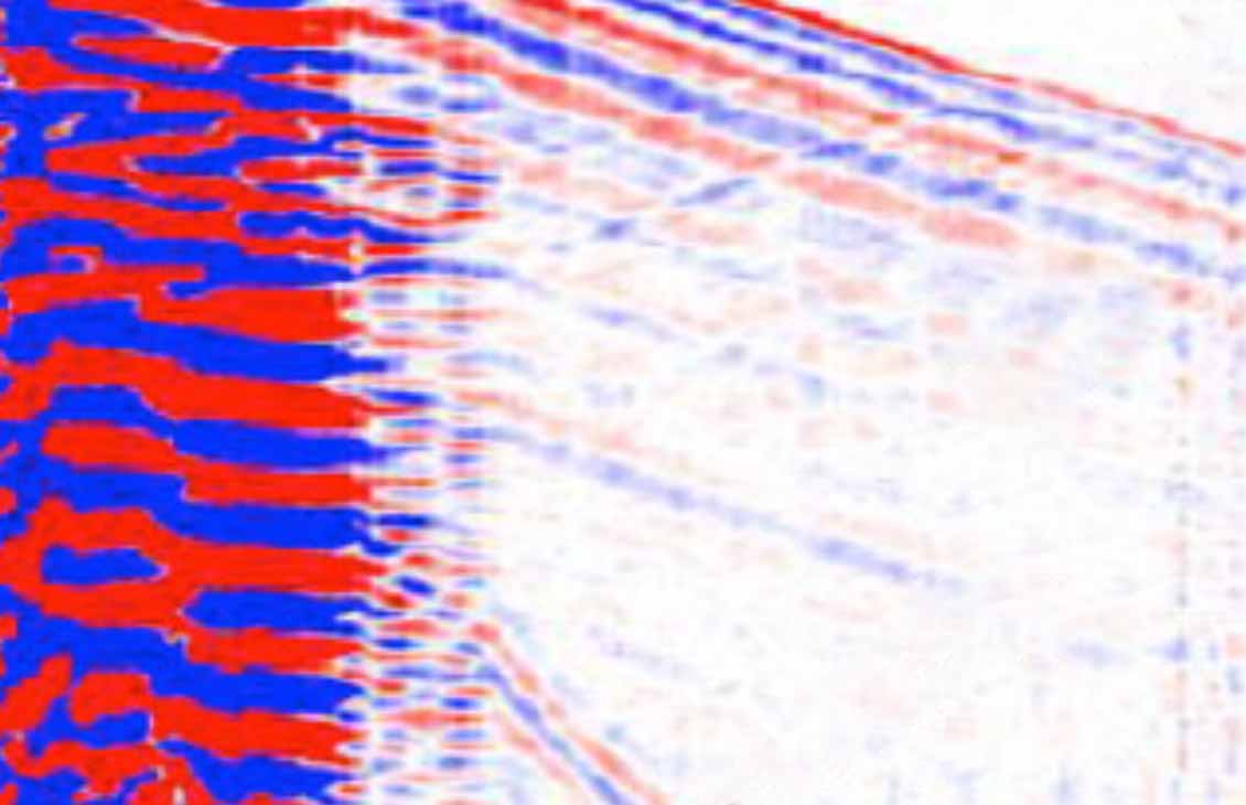
Borehole Seismic
Wireline-conveyed tools and systemsAcquire high-resolution seismic images in and beyond the borehole.
-

Geosolutions Software
Industry-leading software and plug-insStreamline your geophysical workflows, from seismic acquisition to production optimization.
-

Multiclient Data Library
Accelerate Hydrocarbon DiscoveryOur world-leading, evergreen multiclient library provides critical subsurface insight to help you make the most informed decisions.
-
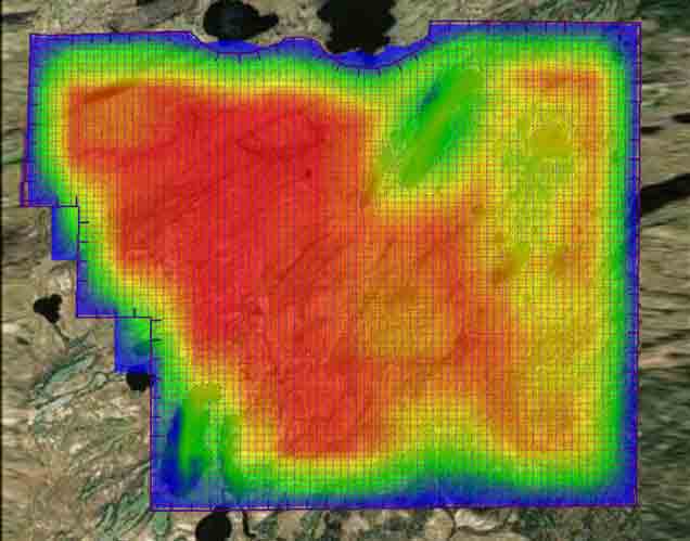
Seismic Survey Design & Modeling
Tailored solutions to your geophysical challenges and objectivesAddress acquisition, data processing, seismic interpretation, and drilling challenges.
-
Seismic Data Processing
Algorithms, services, and workflows that maximize data valueAddress challenges from data calibration and regularization to attenuation.
-
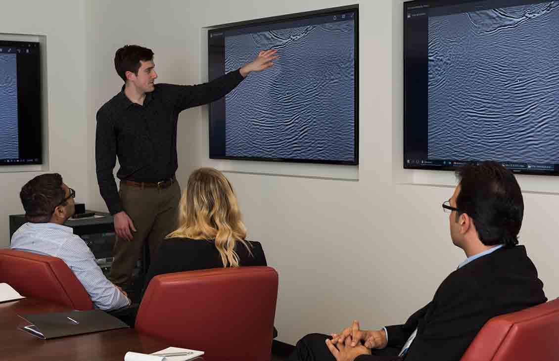
Seismic Imaging
Carefully selected, tailored, and applied algorithmsEnsure image fidelity and confidence in drilling, completion, and production decisions.
-
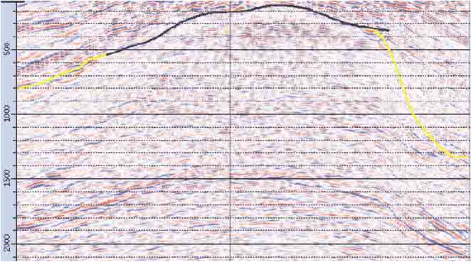
Multiphysics
Subsurface imaging and reservoir characterization studiesReduce uncertainty for E&P workflows by integrating seismic and nonseismic data, measurements, and methods.
-

Seismic Reservoir Characterization
Subsurface modeling for optimized operationsUsing the most advanced tools available, we provide consistency between all models and acquisition data.
-

Seismic Drilling Solutions
Create the most accurate earth modelAddress drilling challenges related to wellbore stability and hazard analysis.
