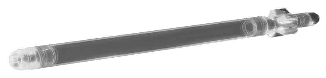
TruMax
Unconventional dual MWD service
Drill more quickly and accurately in harsh unconventional formations and conditions.

The xBolt G2 accelerated drilling service maximizes drilling efficiency through robust reliability and high-speed electromagnetic (EM) and mud pulse communication rates, enabling operators to deliver wells faster while positioning the wellbore accurately within the reservoir.
Available in three configurations to provide multiple data transmission options in a single collar, the xBolt G2 service can leverage
Switching between telemetry modes is accomplished in less than 1 min, avoiding costly trips out of hole and lost rig time.
– Shadi Altayeb Mussa, Telemetry & Software Technologies Product Champion
The xBolt G2 service provides superior demodulation rates to eliminate surveying time when EM telemetry is deployed, achieving data transmission rates up to 4 times faster than conventional methods.
The multitelemetry service uses total and azimuthal-image gamma ray functionality to reveal bed crossings and boundaries, enabling confident geosteering decisions and subsurface model refinement while drilling.
With better imaging, operators experience improved steering and minimized sliding for increased ROP and reduced well porpoising, resulting in a smoother, less tortuous well profile.
By revealing formation dips while drilling, the multitelemetry service enables increased footage per day and improved well placement accuracy.