Subsurface Advisor™
Intelligent subsurface drilling solution

Overview
Subsurface Advisor unifies all subsurface disciplines into a single, real‑time environment, allowing teams to execute based on high‑quality insights during real-time operations instead of waiting for post‑operation reviews. By reducing the friction created by disconnected tools and siloed workflows, it accelerates the time from data acquisition to interpretation and ensures all stakeholders work from the same consistent and up‑to‑date information.
Through automated interpretations, digital re‑rendering of domain outputs, and direct integration with autonomous drilling systems, Subsurface Advisor minimizes manual effort and shortens decision cycles. The platform enhances collaboration, improves execution consistency, creates full digital traceability, strengthening operational quality and enabling faster, more informed decisions across wells, shifts, and geographies.
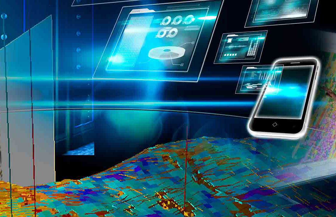
Designed as a user-centric solution, Subsurface Advisor delivers personalized insights, intuitive tools, and real-time operational updates that help teams monitor activity as it happens and respond quickly to changes. This improves collaboration, enhances operational quality, and supports more confident placement and risk decisions throughout the well-construction process.
Subsurface advisor
Benefits
- Accelerates subsurface understanding, reducing cycle times and operational risk.
- Breaks down discipline silos for faster, higher-quality decision-making.
- Automates data handover and analysis from pre-job to post-job.
- Reduces non-productive time (NPT) through early risk prediction and operational monitoring.
- Seamlessly scales on demand, from small teams to large projects.
- Facilitates collaborative innovation between customers and SLB within an integrated digital workspace.
Features
Automated multidomain workflows for end‑to‑end subsurface planning and execution, integrating petrophysics, geology, geosteering, reservoir, and drilling workflows into a single unified ecosystem.
Continuous earth model updates with context‑aware insights across domains, supporting pre‑job well placement design, scenario evaluation, and adaptive execution planning.

Cloud‑native architecture with secure, governed data sharing through the Delfi™ platform, enabling real‑time formation evaluation, surface‑logging visibility, and LWD data interpretation during operations.
Intuitive, role‑based experiences designed for each subsurface discipline, enabling adaptive well placement execution with real‑time risk assessment and mitigation during drilling.
High‑performance compute for AI/ML‑driven interpretation and large‑scale data processing, supporting real‑time decision‑making across complex subsurface environments.
Flexible workflow editor supporting customization and new process integration, allowing teams to tailor workflows across planning, execution, and learning phases.
Subsurface Domains
Petrophysics

Subsurface Advisor - Petrophysics
Petrophysics is a cloud-based solution that delivers real-time petrophysical insights by integrating subsurface data, physics-based models, and automated workflows. It enables reliable evaluation of porosity, saturation, and fluid volumes across diverse environments. By automating repetitive tasks and integrating directly with geology and geosteering workflows, the module accelerates interpretation, improves cross‑discipline alignment, and reduces uncertainty during well placement and execution.
Geology

Subsurface Advisor - Geology
Automated Geology provides automated, real‑time geological interpretation to support drilling and well‑placement decisions. It delivers insights such as dip, texture, and borehole‑shape indicators through streamlined, automated workflows. These interpretations help geologists, geosteering specialists, and drilling engineers respond quickly to subsurface changes, reduce interpretation latency, and refine targeting during operations. The module also supports downstream planning by informing trajectory and completion decisions with consistent, up‑to‑date geological context.
Geosteering

Subsurface Advisor - Geosteering
Geosteering allows you to run the common geosteering workflows such as well correlation, real-time inversions of our deep electromagnetic resistivity tools and report generation. It supports real-time inversions for PeriScope Edge, GeoSphere HD, GeoSphere 360 and AlphaSight. It can produce 1D longitudinal inversions, 2D transverse inversions, and 3D resistivity volumes. You have all the data needed to take decisions at your fingertips to maximize your Well Construction performance.
Surface Geology

Subsurface Advisor - Surface Geology
Surface Geology integrates automated lithology interpretation with advanced cuttings measurements to deliver real‑time geological insight at surface. By combining high‑resolution data with automated analytics, it streamlines subsurface evaluation and improves interpretation consistency during operations. The cloud‑based environment enables seamless collaboration between surface logging, geology, and geosteering teams, helping reduce uncertainty, accelerate workflows, and maintain alignment throughout the well‑construction process.
Surface Gas

Subsurface Advisor - Surface Gas
Surface Gas brings advanced mud gas measurements to life through intuitive visualization and automated interpretation, integrating advanced mud‑gas measurements into the broader subsurface interpretation workflow. The module delivers continuous real‑time insight into gas composition and fluid indicators while drilling, providing reliable fluid composition, fluid type identification, and gas–oil ratio (GOR) estimates while drilling. By contextualizing surface gas data alongside petrophysics and geosteering interpretations, the module helps teams gain an earlier, clearer understanding of reservoir fluids, often before traditional logs are available, enabling proactive well placement, optimized geo-decisions, and reduced uncertainty in complex reservoirs.
3D GeoContext

Subsurface Advisor - 3D GeoContext
3D GeoContext is a cloud‑native module that delivers real‑time, 3D contextualization of subsurface data, converting high‑resolution measurements into actionable insights throughout the well lifecycle. It features an advanced 3D modeler designed to integrate dips, boundary interpretations, and inversion results, along with an interactive geology toolbox for real‑time creation and editing of geological objects—including geo-bodies, faults, curtain sections, synthetic logs, dip filtering, and lateral fracture extensions.
FAQs
Subsurface Advisor is built on SLB real-time cloud infrastructure services, with access governance and administration enabled by the Delfi™ digital platform. The solution forms part of a fully integrated well-construction engineering solution, transforming the formation evaluation and logging while drilling (LWD) experience. It uses cloud technology to automate workflows across all SLB well construction measurement disciplines.
Related products
-

Logging While Drilling (LWD) Services
High-quality data while drillingOptimize reservoir mapping, formation evaluation, and geosteering decisions.
-

Autonomous Geosteering
Achieve optimal reservoir placement and increased productionLeveraging advanced inversions in connected workflows.
-
Digital Wellbore Solutions
Wellbore solutions on the Delfi™ digital platformOur wellbore solutions are at the forefront of technological innovation within the energy industry.