Well Radar
Ranging and interception services
Overview
Detect existing wells and determine relative distance and orientation while drilling a new well
Supported by industry-first capabilities, Well Radar™ ranging and interception services ensures precise well placement for maximized recovery across a spectrum of critical applications. These services leverage advanced technologies and extensive expertise in drilling, surveying, formation evaluation, geosteering, and reservoir mapping to meet the needs of the most demanding projects. This service is a key enabler for both traditional and emerging energy projects, including brownfield redevelopment, P&A, geothermal wells, and CCS.
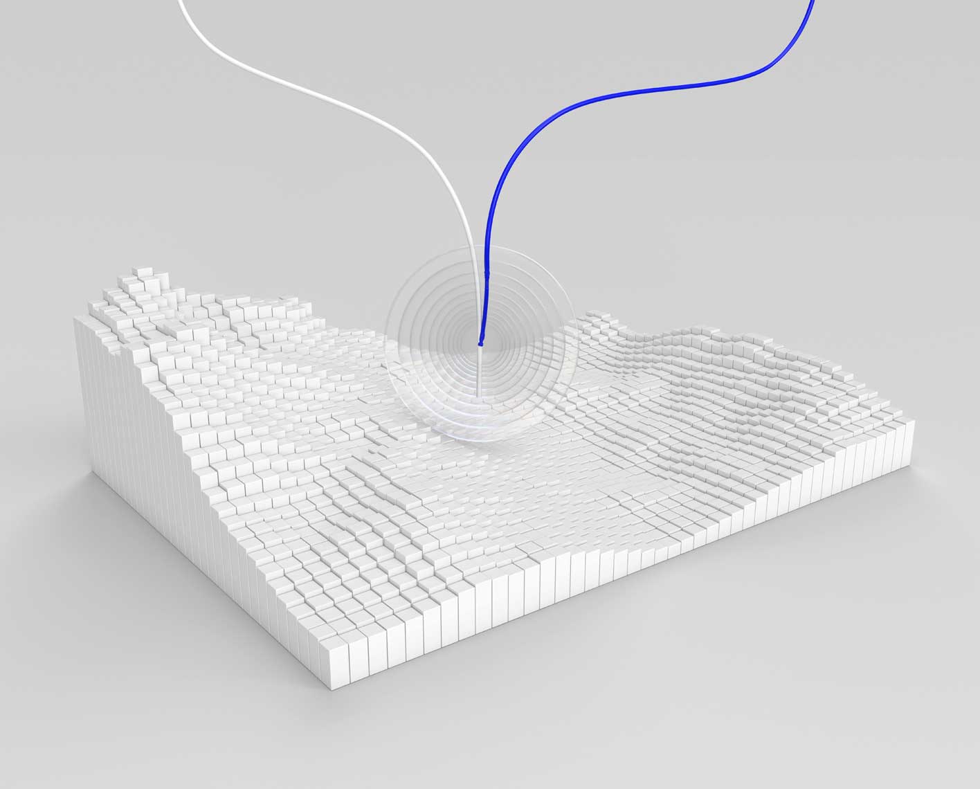
Well Radar services surpass traditional ranging methods by integrating four sophisticated technologies into a single solution: passive magnetic ranging (PMR), active magnetic ranging (AMR), active resistivity ranging (ARR), and active acoustic ranging (AAR). When combined with industry-leading rotary steerable systems and precise dynamic surveys, it provides real-time multiphysics data, enabling superior trajectory control and highly accurate, high-density ranging information.
Applications
- Onshore and offshore wells
- Collision avoidance
- Well twinning/slot recovery
- Well interception
- Relief well
- Coalbed methane
- SAGD
- P&A
- CCS
- Geothermal wells
- Reentry operations
Benefits
- Unlocks previously inaccessible reserves
- Delivers precise real-time positioning via PMR, AMR, ARR, and AAR
- Increases confidence in ranging accuracy and data quality through multiphysics redundancy
- Provides advanced mapping and formation evaluation
- Extends ranging capability across all formation types
- Reduces operational risks, including stuck pipe, well collisions, and sidetracks
- Lowers HSE exposure
- Reduces uncertainty and enables faster drilling with higher confidence
Features
Industry-leading rotary steerable system, delivering superior directional control and drilling performance in challenging environments
Seamless integration of definitive dynamic survey capabilities with magnetic and gyroscopic technologies
Advanced geosteering and reservoir mapping enabled by ultradeep azimuthal resistivity measurements
Supports multimethod ranging (magnetic, acoustic, resistivity)
Compatible with remote operations, lowering operational risk, HSE exposure, and overall cost

Well Radar ranging and interception services combines the technologies and expertise of multiple domains.