Geology solutions
Powerful 2D and 3D geological analysis, mapping, and modeling


Geology is a unique discipline. It is rooted in science, but it also requires a great deal of imagination to synthesize all the available information to recreate hundreds of millions of years of geological processes—deposition, erosion, and compaction—to find producible hydrocarbons in more and more complex environments.
Whether you are solving exploration, development, or production challenges, you need software tools that support both detailed analysis and creativity—while also enabling you to easily test all your ideas.
Explore our solutions
Geology modeling
-
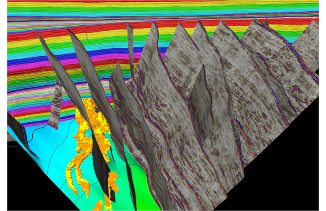
Petrel Structural and Fault Analysis
Analysis of fault sealing capabilities and mapping QC tools
-
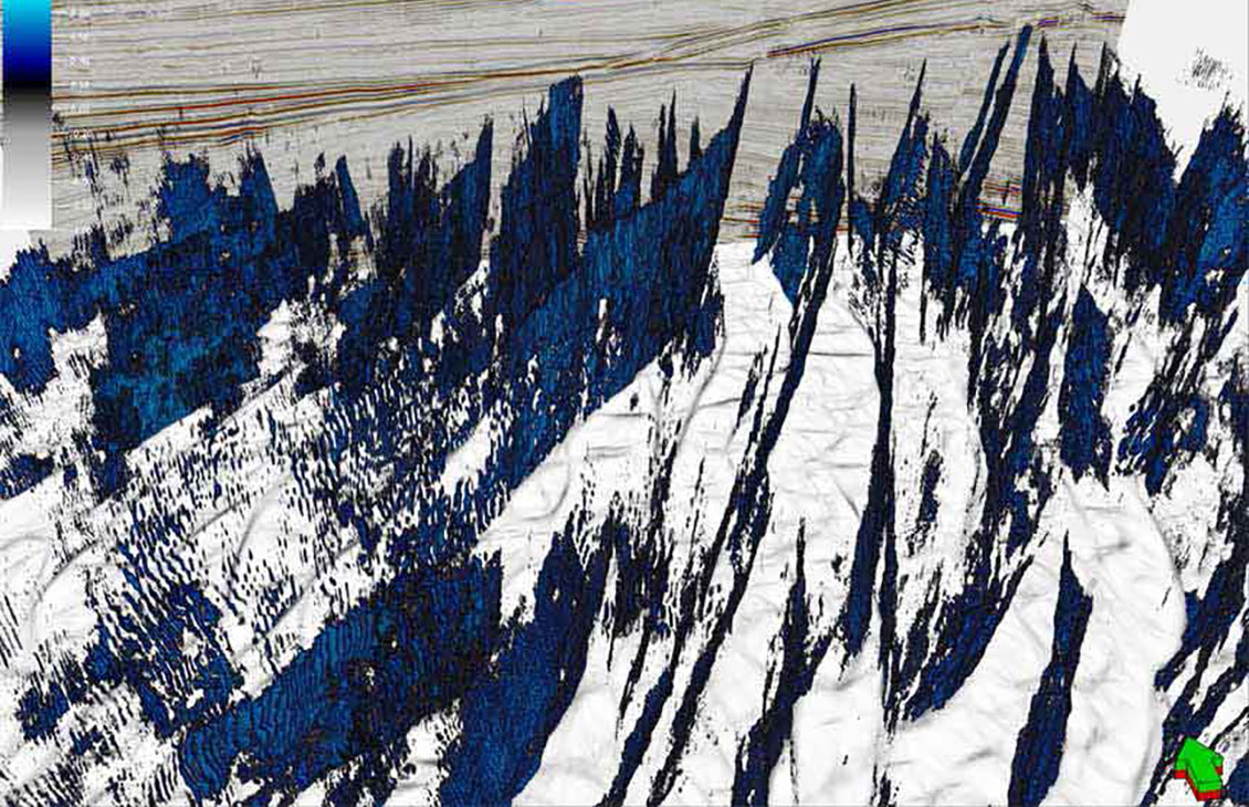
Petrel Structural Interpretation
Fast, accurate structural interpretation workflow that reduces interpretation uncertainty and delivers a confident, validated structural framework of the subsurface
-
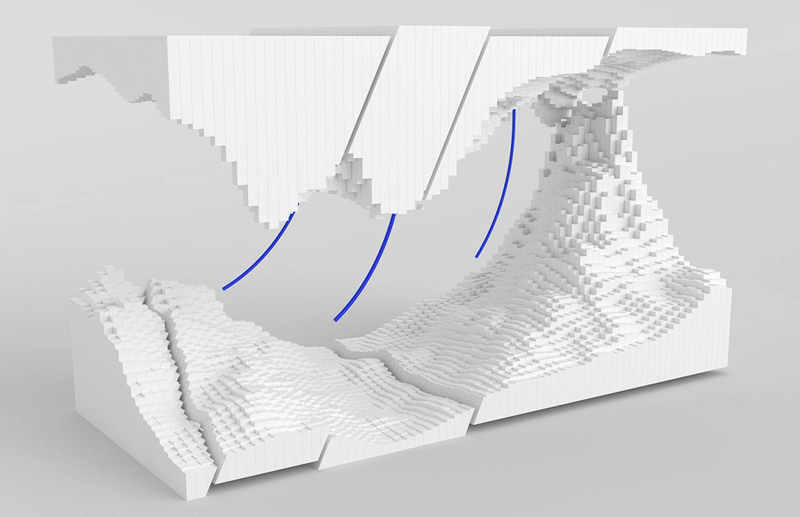
Petrel subsurface software
Enable discipline experts to work together and make the best possible decisions from exploration to productionEnable discipline experts to work together and make the best possible decisions from exploration to production.
-
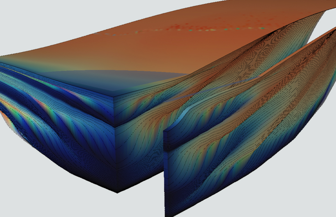
GPM geological process modeling software
Improve reservoir prediction in clastic and carbonate sedimentsImprove reservoir prediction in clastic and carbonate sediments.
Well interpretation and correlation
-
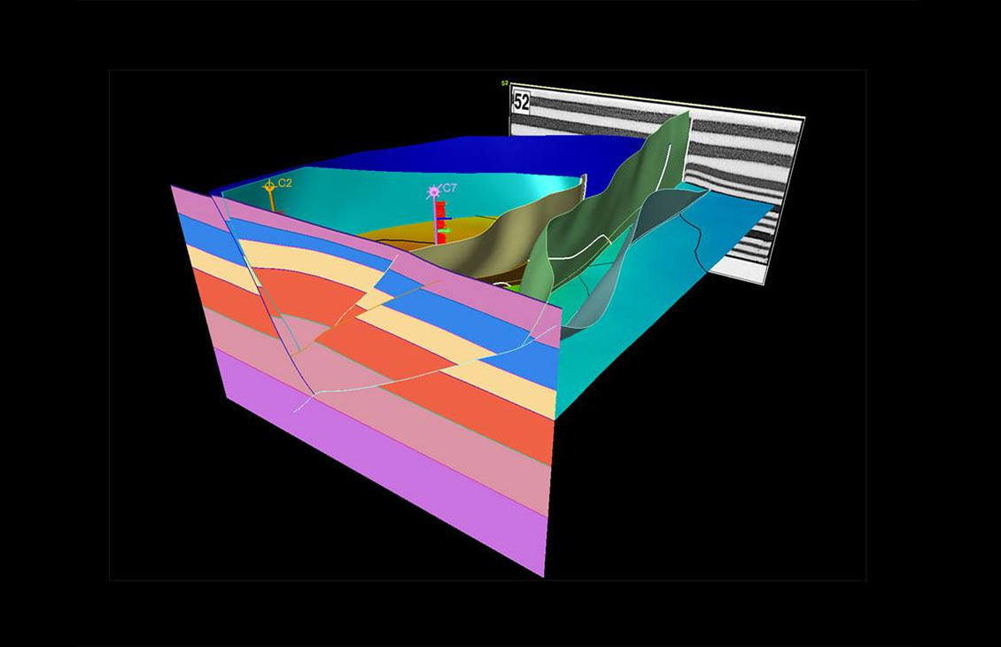
Petrel Geoscience Core
Full integration of all E&P data in a unique platform, offering 2D and 3D flexible canvases, and QC input.
-
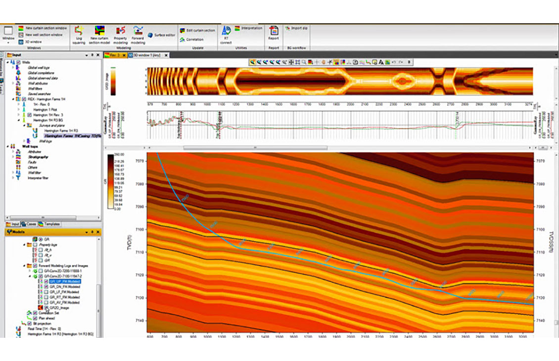
Petrel well correlation
Display, organize, and interpret any type of well data in a flexible 2D environment
-

Techlog Wellbore Imaging
Sophisticated image analysis, automatic tool and vendor recognition for raw and processed data, and simplified loading and analysisSophisticated image analysis, automatic tool and vendor recognition for raw and processed data, and simplified loading and analysis.
-

Petrel subsurface software
Enable discipline experts to work together and make the best possible decisions from exploration to productionEnable discipline experts to work together and make the best possible decisions from exploration to production.
-
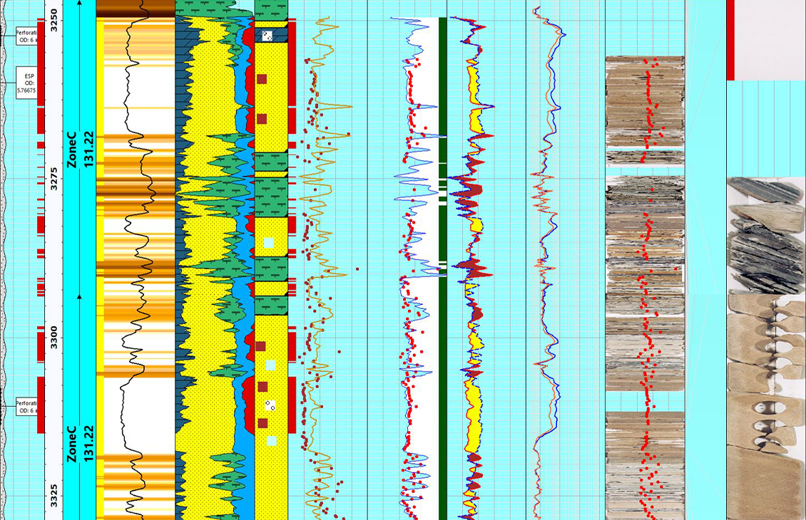
Techlog Wellbore Software
Integration of all wellbore-centric data types into multidiscipline workflowsIntegration of all wellbore-centric data types into multidiscipline workflows.
-
Petrel Subsurface Software Machine-learning (ML) Raster Digitzation
Accelerating subsurface log interpretationQuickly digitize one or multiple curves for your area of interest when you need it.
Reservoir modeling
-
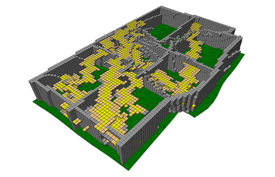
Petrel facies modeling
Build accurate facies models
-
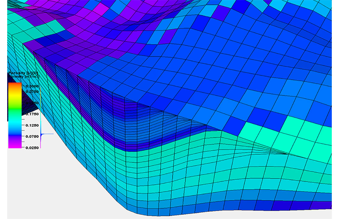
Petrel petrophysical modeling
Build accurate petrophysical models
-
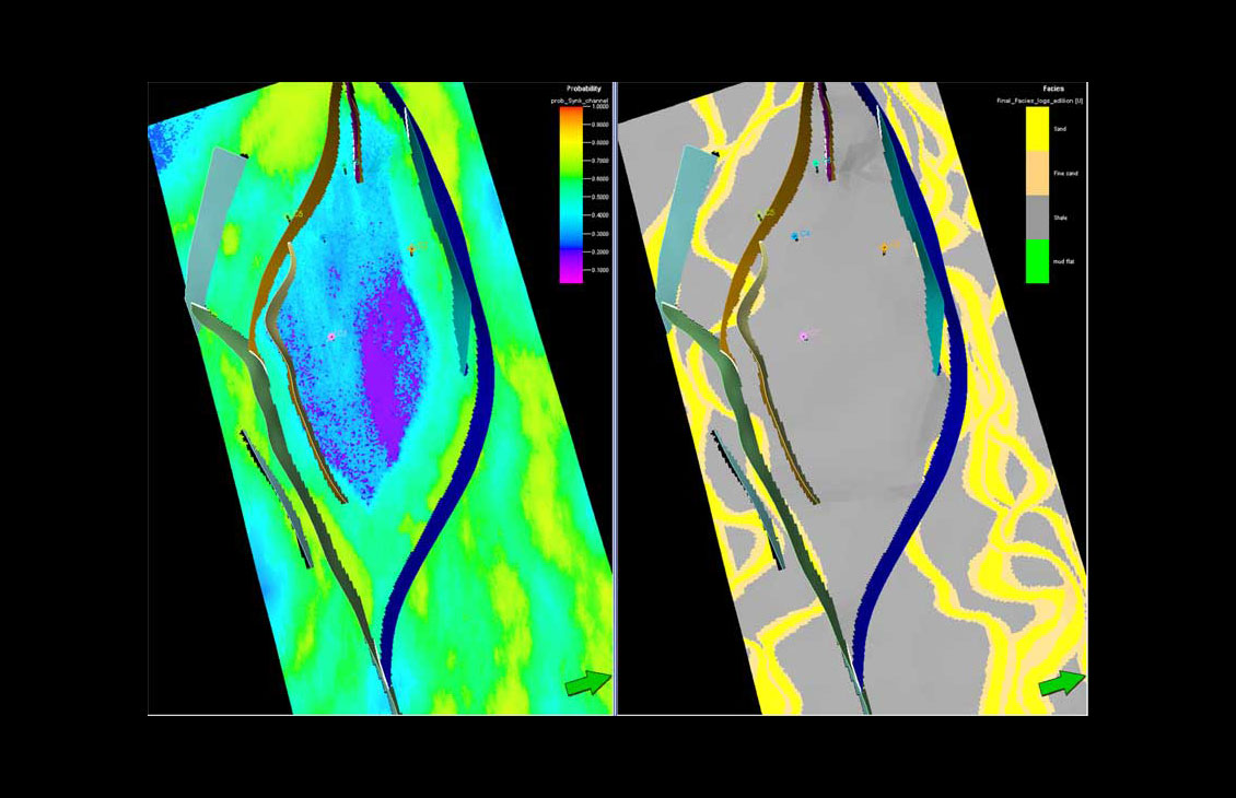
Petrel Classification and Estimation
Advanced train estimation tools and trend modeling.
-
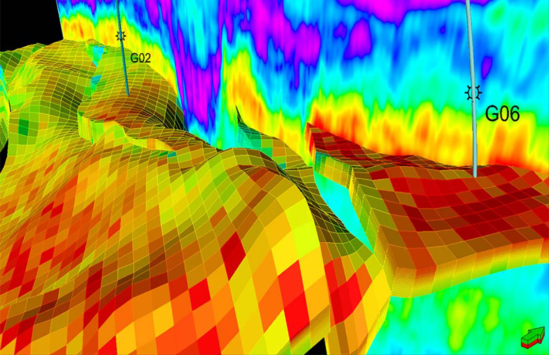
Petrel Seismic Sampling
Resample seismic volumes and geobodies as properties into 3D grids
-
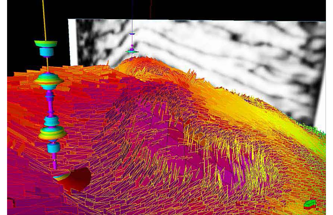
Petrel fracture modeling
Create geologically consistent fracture models
-

Petrel subsurface software
Enable discipline experts to work together and make the best possible decisions from exploration to productionEnable discipline experts to work together and make the best possible decisions from exploration to production.
Volumes and uncertainty
-

Petrel Geoscience Core
Full integration of all E&P data in a unique platform, offering 2D and 3D flexible canvases, and QC input.
-
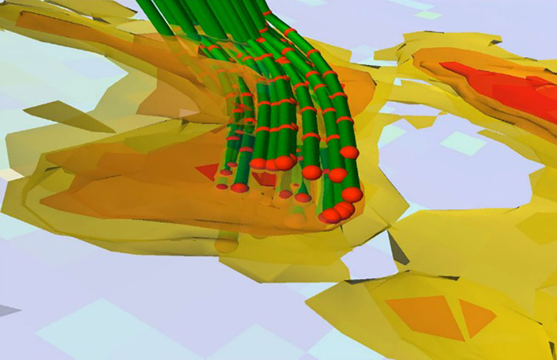
Petrel Uncertainty
Perform sensitivity and uncertainty analysis and generate probabilistic forecasts to optimize operational constraints and improve field developmentPerform sensitivity and uncertainty analysis and generate probabilistic forecasts to optimize operational constraints and improve field development.
-

EOR Geoscreening
Interactive tool for analysis and selection of representative geological realizations based on both static and dynamic evaluationInteractive tool for analysis and selection of representative geological realizations based on both static and dynamic evaluation.
-

Petrel subsurface software
Enable discipline experts to work together and make the best possible decisions from exploration to productionEnable discipline experts to work together and make the best possible decisions from exploration to production.

Geologist on Delfi
Provides geologists and geoscientists with the most advanced set of tools to solve the most complex structural and stratigraphic challenges, from regional exploration to reservoir development.
Learn More