Smackover 3D five-layer model | SLB

Smackover 3D five-layer model

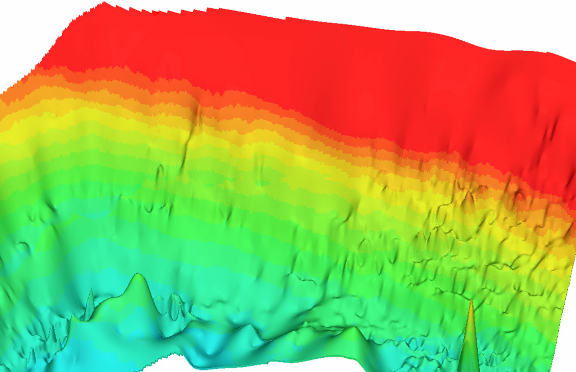
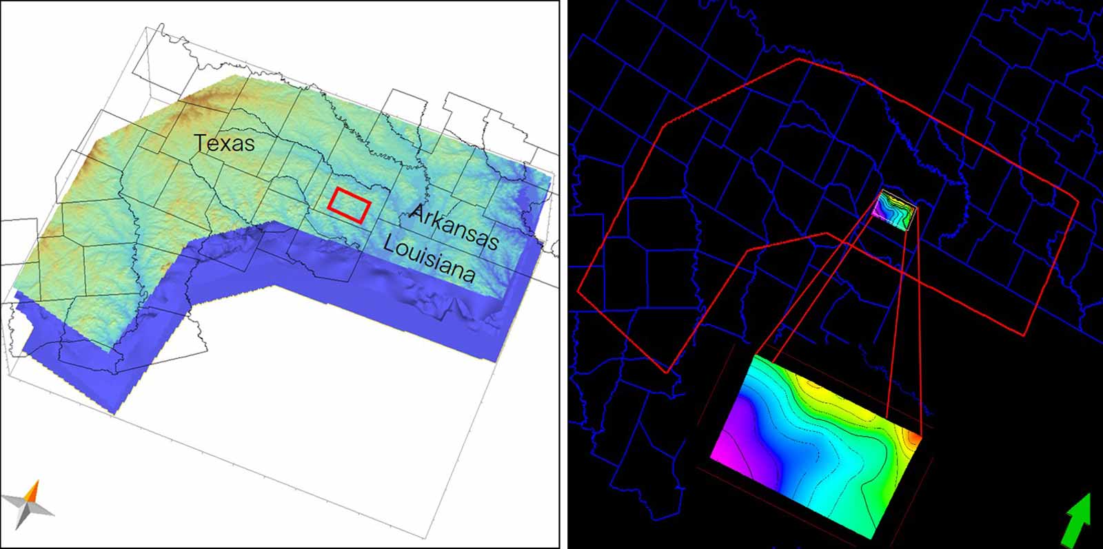
The SLB lithium subsurface screening service provides detailed, five-layered geological insights to identify lithium-rich zones faster and with higher certainty in the Smackover Formation.

minus

With a lithium subsurface screening service tailored to the Smackover Formation, SLB delivers detailed geological models for your area of interest—quickly and cost-effectively. The SLB five-layered mapping approach integrates structural, hydrodynamic, and geochemical data to provide actionable insights, helping you make better informed decisions early before acquiring acreage.

Lithium subsurface screening maps

Designed for lithium prospectors and developers

The SLB lithium subsurface screening helps reduce exploration risk and accelerate time to value by offering:

  • Provides access to any part of the Smackover based on the SLB Smackover basin model that already processed and environmentally corrected large datasets, including well and log data, to establish the brine trend distribution.
  • Enables high-confidence acreage selection and smarter leasing and acquisition decisions via data-backed rankings of lithium potential. 
  • Improves structural clarity for fault zones by locating subsurface discontinuities at basement depth that potentially provide migration conduits for brine flow. 
  • Enhances well placement strategies by identifying favorable areas for brine well locations, based on hydrodynamic flow model.

Five-layered subsurface mapping

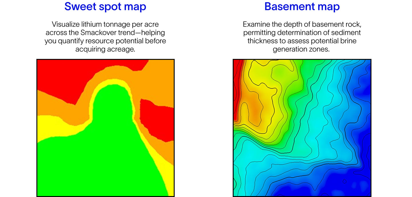
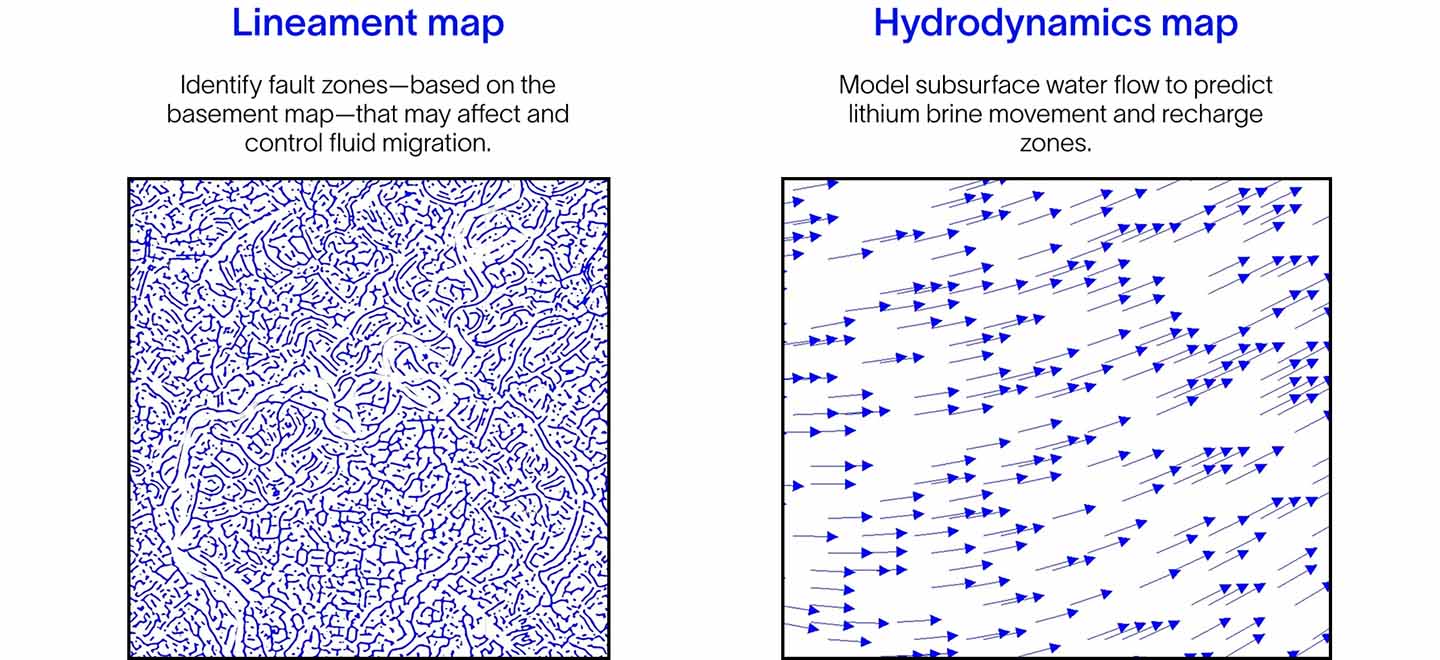
Each layer provides a critical piece of the lithium exploration puzzle.

Sweet spot and Basement maps
Lineament and Hydrodynamic maps
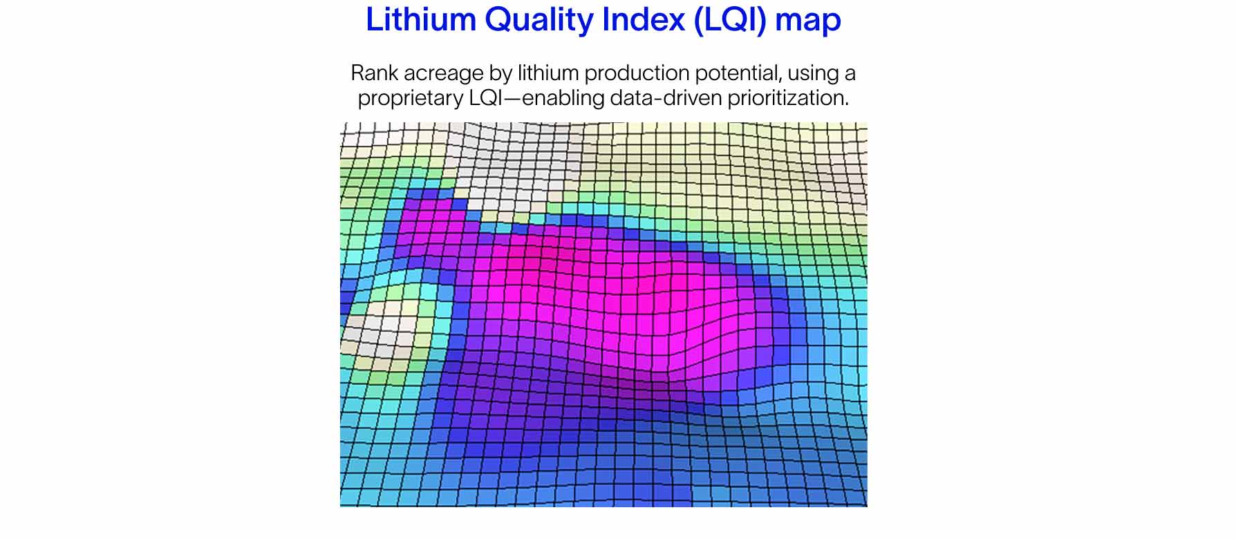
3D aqueous flow model with LQI map
Brand art for lithium production.

Getting started is simple

SLB offers a comprehensive screening tool for the Smackover lithium-brine play using a five-layered mapping approach—from identifying lithium sweet spots and understanding the source of lithium, to evaluating salt production potential.

If you're ready to accelerate your entry into North America's premier lithium resource play, simply provide one of the following to unlock your acreage potential:

  • Shapefile
  • XY polygon file
  • County name
  • Section number
  • Or just draw your area of interest by hand
Get your custom Smackover screening

FAQs

How can I evaluate lithium-brine potential in the Smackover Formation without drilling too many wells?

Use integrated subsurface screening that combines geological, structural, and hydrodynamic data to identify high-potential zones—reducing the need for speculative drilling.

What kind of subsurface data is useful for lithium exploration?

Key data includes sediment thickness, porosity and permeability data, fault and fracture mapping, brine flow patterns, and lithium concentration estimates—all of which are included, to various degrees, in the SLB five-layered approach. 

Is there a way to rank lithium acreage by production potential before investing?

Yes. SLB’s Lithium Quality Index ranks acreage based on geological, hydrological, and fluid flow characteristics, helping you prioritize the most promising zones.

What tools are available to help further to understand the highest brine deliverability within an acreage?

SLB’s 3D aqueous flow model, using a proprietary Lithium Quality Index map, estimates the area for optimal annual lithium production and computation of the numbers of wells required.

Related products