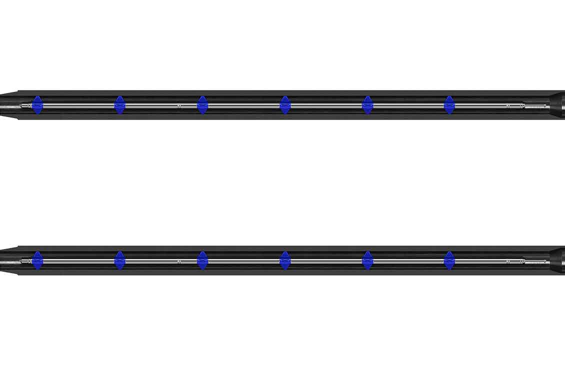
Dynamic Gyrocompass

Reliable gyrocompass surveys for offshore drilling efficiency

minus

Delivering accurate wellbore positioning in riserless, heave-affected environments—without survey delays or risk

Offshore drilling operations face significant challenges when acquiring gyrocompass surveys in dynamic, sea-heave conditions. Traditional methods often require extended stationary periods, increasing operational risk and inefficiency. The Dynamic Gyrocompass (DGC) solution from SLB enables fast, reliable survey acquisition—even while the tool is moving—eliminating the need for wireline contingency options and reducing well construction time.

The DGC digital solution continuously collects high-frequency gyroscope and accelerometer data from the GyroLink™ definitive gyro-while-drilling service. A physics-based compensation model calculates and removes rotational components introduced by tool motion, enabling accurate reference to true north. This process delivers reliable azimuth, inclination, and inertial toolface measurements—even during normal drilling operations—without requiring long stationary periods.

Offshore deepwater infill drilling under heave conditions

  • Riserless wellbore surveys in deepwater environments
  • Gyro-while-drilling in motion-noisy offshore settings
  • Survey acquisition during drillpipe connections and slips
  • Minimized surveying risks
    • Eliminates survey failures caused by sea heave and motion noise
    • 100% survey assurance reduces reliance on wireline or contingency options
  • Optimized well construction duration
    • Surveys acquired in as little as six minutes, even under severe heave
    • Reduces stationary drilling time and unnecessary circulating hours
  • Enhanced operational efficiency
    • Real-time survey availability mitigates collision risks
    • Improved placement confidence and wellbore quality
  • Reduced equipment wear and stuck pipe risk
    • Minimizes extended circulation periods, preserving rig equipment

Field deployments of the DGC solution have demonstrated stable, quality-controlled surveys in environments where traditional gyro methods have struggled or failed.

  • High-frequency motion compensation
    • Continuously measures gyroscope and accelerometer data from the GyroLink service
    • Physics-based model removes rotational components from measurements
    • Enables accurate azimuth, inclination, and inertial toolface determination without stationary periods
  • Advanced sensor technology
    • 3-axis solid-state gyro sensor
    • Inclination: less than 10°
    • Azimuth: 0 to 360° (±0.1°)
    • Toolface orientation: 0 to 360° (±0.1°)
  • Rapid survey acquisition
    • Survey collection time: up to six minutes per station
    • No east-west cautionary zones
  • Seamless integration
    • Implemented via software and signal processing within existing downhole systems
    • Requires no new rig equipment or operational workflows
Specification   
 Type of sensor  3-axis solid-state gyro 
 Inclination  Less than 10°
 Azimuth  0 to 360° (±0.1°)
 Tool face orientation  0 to 360° (±0.1°)
 Survey collection time  Up to 6 minutes
 East–west cautionary zones  None

All specifications are subject to change without notice.