North Slope
Alaska
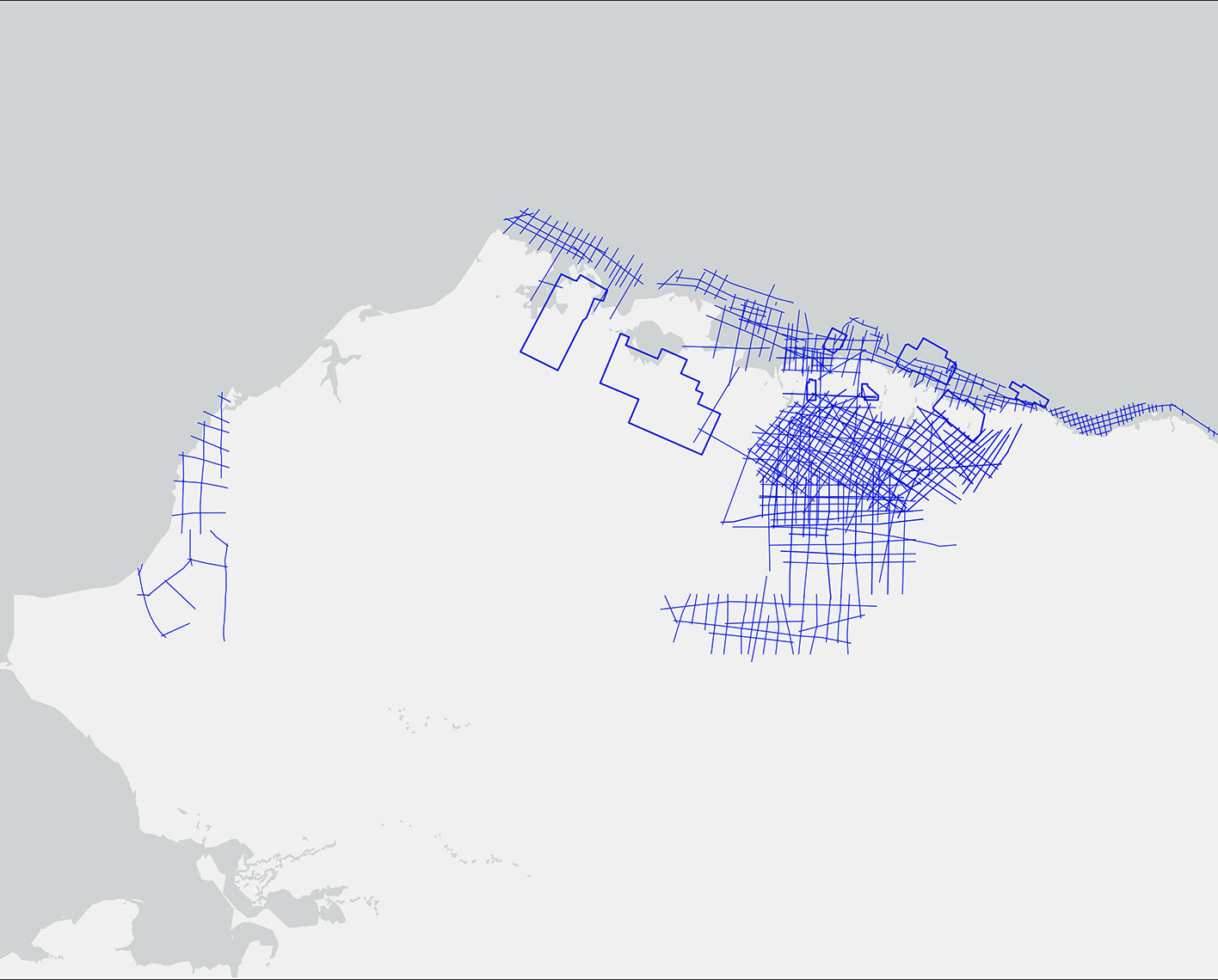
- >3,600 mi2 of 3D seismic data;
- 7,000 mi of 2D data
To view the complete portfolio of surveys, please visit Multiclient data.
Teshekpuk Lake
1117 mi2 survey located in the National Petroleum Reserve in Alaska (NPRA). Originally acquired in 2000-2001, the survey was designed and processed for imaging deeper targets.
Reprocessing is currently underway to optimize processing and imaging workflows for shallower Nanushuk/Torok plays. 5D interpolation will provide more densely sampled near offsets for detailed AVO analysis, SWAMI modeling of direct and scattered ground roll energy for multiple modes, and ice lake statics with SWAMI will allow for a better near surface model supporting both time and depth imaging.


Prudhoe | Uplands | Shaviovik Explore Cube
Explore Cube is an industry leading early-exploration AI-powered tool designed to provide 3D seismic images projected from a combination of 2D seismic and any prior information available or extracted from the existing data.
The Prudhoe | Uplands | Shaviovik seismic Explore Cube project is located on the Alaska North Slope area and consists of 31 seismic 2D lines covering approximately 13,000 kms of data. The project is comprised of three separately acquired areas: 1992, 1993 and 1994 vintages.

