
Autonomous Geosteering
Achieve optimal reservoir placement and increased production
Leveraging advanced inversions in connected workflows.
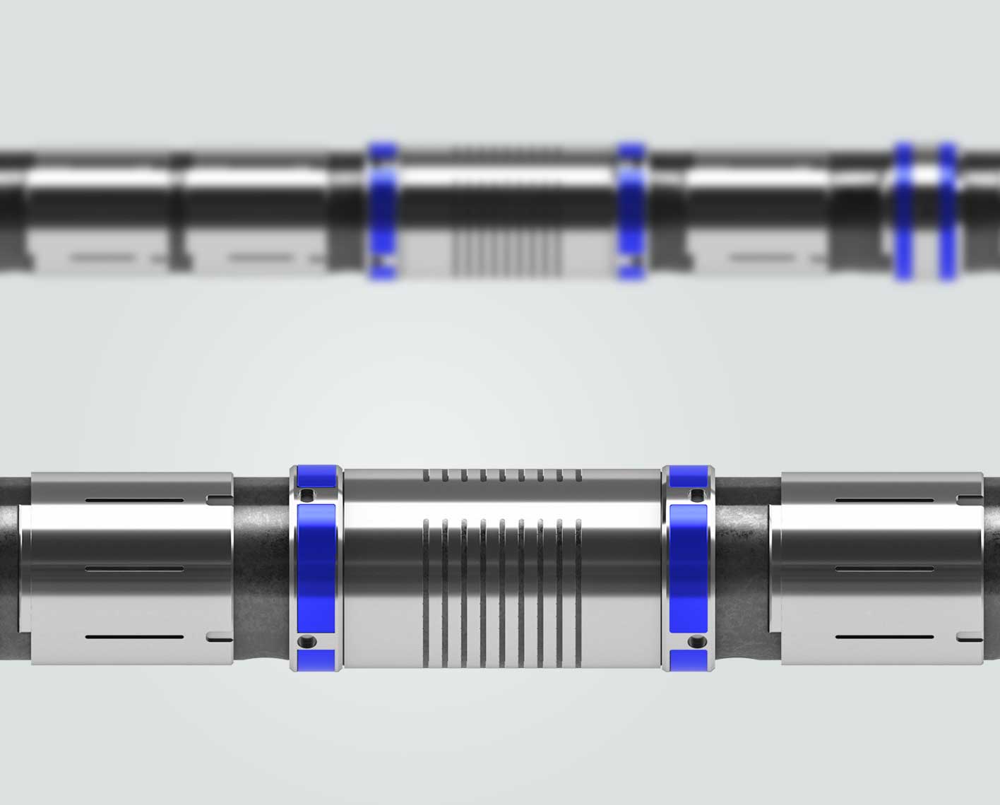
PeriScope Edge multilayer mapping-while-drilling service doubles depth of detection range compared with previous bed-boundary detection services, delivering clearer boundary delineation—even for the thinnest layers 3 ft or less—and more computing power behind the ultrahigh-definition mapping for faster turnaround time while drilling. The combination of innovative inversion with measurements coming from the axial, tilted, and transverse antenna provides the fastest and highest delineation of reservoir layers and formation evaluation while drilling.
PeriScope Edge service delivers real-time ultrahigh resolution for earlier, more precise boundary and layer detection for better steering direction in various types of reservoirs, including complex thinly bedded and compartmentalized reservoirs.
With its all-new deep resistivity, the inversion, and measurements from the tilted, axial, and transverse antenna, PeriScope Edge service reveals up to eight layers and provides definition and certainty in excess of 25 ft. Results are fast and provide the greatest certainty with bed boundary detection for more precise delineation of reservoir boundaries and fluid contacts.


