Kingdom™ geoscience software

Kingdom software brings seismic, geological, well, and engineering information data into connected interpretation workflows for mapping, reservoir characterization, well planning, and subsurface decision support.

Kingdom
minus

Move from subsurface data to integrated interpretation

Kingdom™ geoscience software enables interpretation for teams working across conventional and unconventional exploration and development. It supports seismic interpretation, geological interpretation, mapping, velocity modeling, petrophysics, well planning, and data management in a connected working environment.

Teams can use Kingdom software to organize subsurface data, evaluate prospects, characterize reservoirs, and develop interpretations that inform drilling and development decisions.

Apply Kingdom software across seismic, geological, and well planning workflows

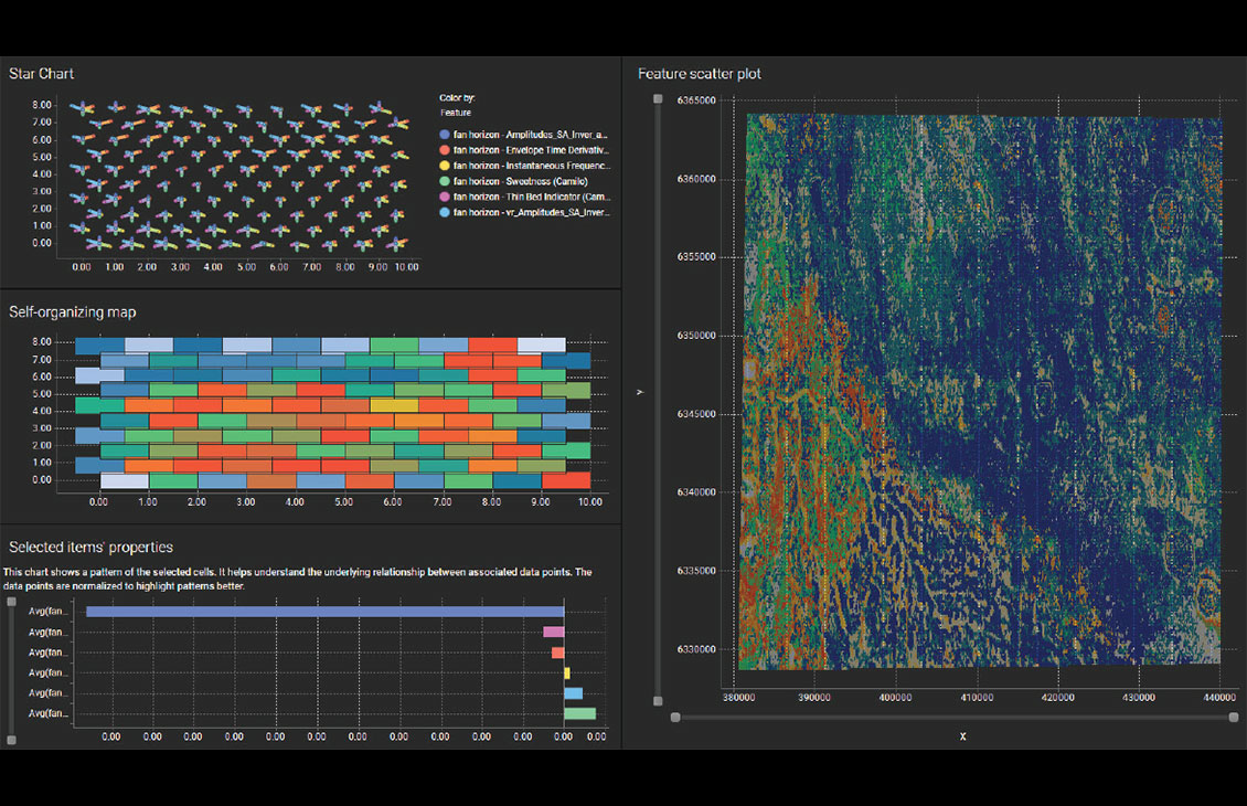
  • Interpret seismic data: Work with 2D and 3D seismic data to identify horizons, faults, structures, and stratigraphic patterns.
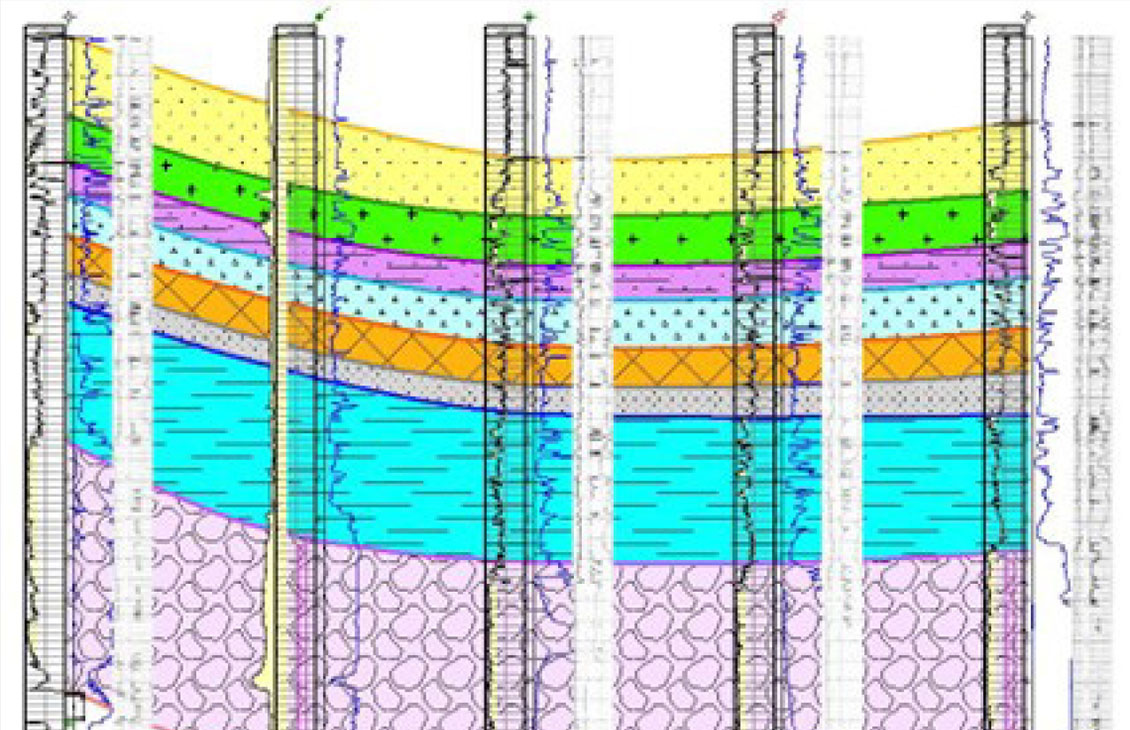
  • Build geological understanding: Correlate wells, create cross sections and maps, evaluate petrophysical information, and estimate volumes.
  • Plan and guide wells: Use structural and geological context to support well planning and geosteering workflows.
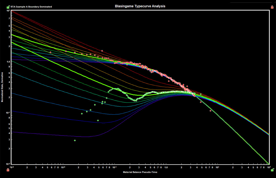
  • Characterize reservoirs: Combine interpretation products to examine reservoir geometry, properties, and development opportunities.
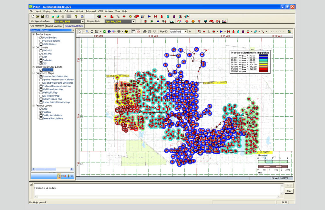
  • Manage interpretation data: Query, quality-check, convert, share, and transfer project information across subsurface teams.

Build a shared view of the subsurface

  • A connected interpretation environment: Bring seismic, geological, well, and engineering context together so disciplines can work from a consistent subsurface view.
  • Faster iteration: Update maps, cross sections, velocity models, and interpretations as new information becomes available.
  • Flexible workflows: Apply fit-for-purpose tools across exploration, appraisal, development, and production studies.
  • More transparent collaboration: Organize and exchange project data so teams can review assumptions and interpretation changes.

Access the tools you need for interpretation, modeling, and data exchange

  • Geophysical interpretation: 2D and 3D seismic interpretation, horizon and fault workflows, attribute analysis, synthetics, seismic inversion, and depth-conversion tools.
  • Geological interpretation: Cross sections, mapping, log correlation, petrophysical workflows, well planning, geosteering, volumetrics, and 3D visualization.
  • Velocity modeling: Build and refine velocity models to support time-to-depth conversion and structural interpretation.
  • Data management: Query, compare, quality-control, correct, convert, copy, and share subsurface databases.
  • Data exchange: Exchange supported data and interpretation objects with Petra™ geological software, Harmony™ reservoir management and production software, and Analytics Explorer™ analytics and AI software.
Two people talking

Reach out to learn more about Kingdom software

Discuss your interpretation workflow, data environment, and deployment needs with an SLB specialist.

Contact us