Petra™ geological software

Petra software helps multidisciplinary teams integrate geological, geophysical, engineering, and production information to evaluate prospects, plan wells, analyze reserves, and support field-development decisions.

Petra
minus

Interpret asset data in one geological workspace

Petra™ geological software is designed for practical analysis across the exploration and production lifecycle. It gives geologists, engineers, technicians, and analysts a common environment for mapping, correlation, volumetrics, production review, and 3D interpretation.

Petra software can support prospect evaluation, unconventional play analysis, infill drilling, reserves work, production planning, and depletion planning.

Leverage Petra software from prospect evaluation to production review

  • Evaluate prospects and acreage: Combine maps, wells, cross sections, and production context to screen opportunities and develop interpretations.
  • Plan wells and infill programs: Review structure, stratigraphy, directional-well paths, and nearby performance before proposing development locations.
  • Analyze unconventional plays: Organize subsurface and production information to compare intervals, wells, and development patterns.
  • Estimate volumes and reserves: Use deterministic or probabilistic volumetric workflows, subject to the approved module configuration.
  • Review production and depletion: Group and visualize production histories to support asset surveillance and planning.

Support practical geological analysis across E&P workflows

  • Integrated asset context: View geological, geophysical, engineering, and production data in a shared interpretation environment.
  • Practical, repeatable workflows: Use mapping, correlation, volumetrics, and production views across common E&P tasks.
  • Flexible analysis: Customize maps, plots, displays, and interpretation views to match asset questions.
  • Scalable project use: Support individual analysis and broader team workflows, subject to licensed deployment and database configuration.

Map, correlate, calculate volumes, and review asset performance

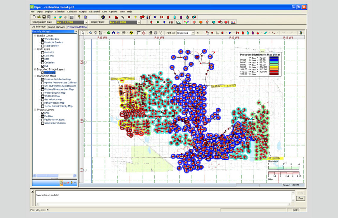
  • Mapping: Create customizable map displays using wells, grids, contours, cartographic layers, and cultural data.
  • Cross sections and log correlation: Correlate wells, edit interpretations, and review stratigraphic and structural relationships.
  • Advanced volumetrics: Perform deterministic and probabilistic calculations, including Monte Carlo workflows where licensed.
  • Directional-well workflows: Review and plan directional well paths in geological context.
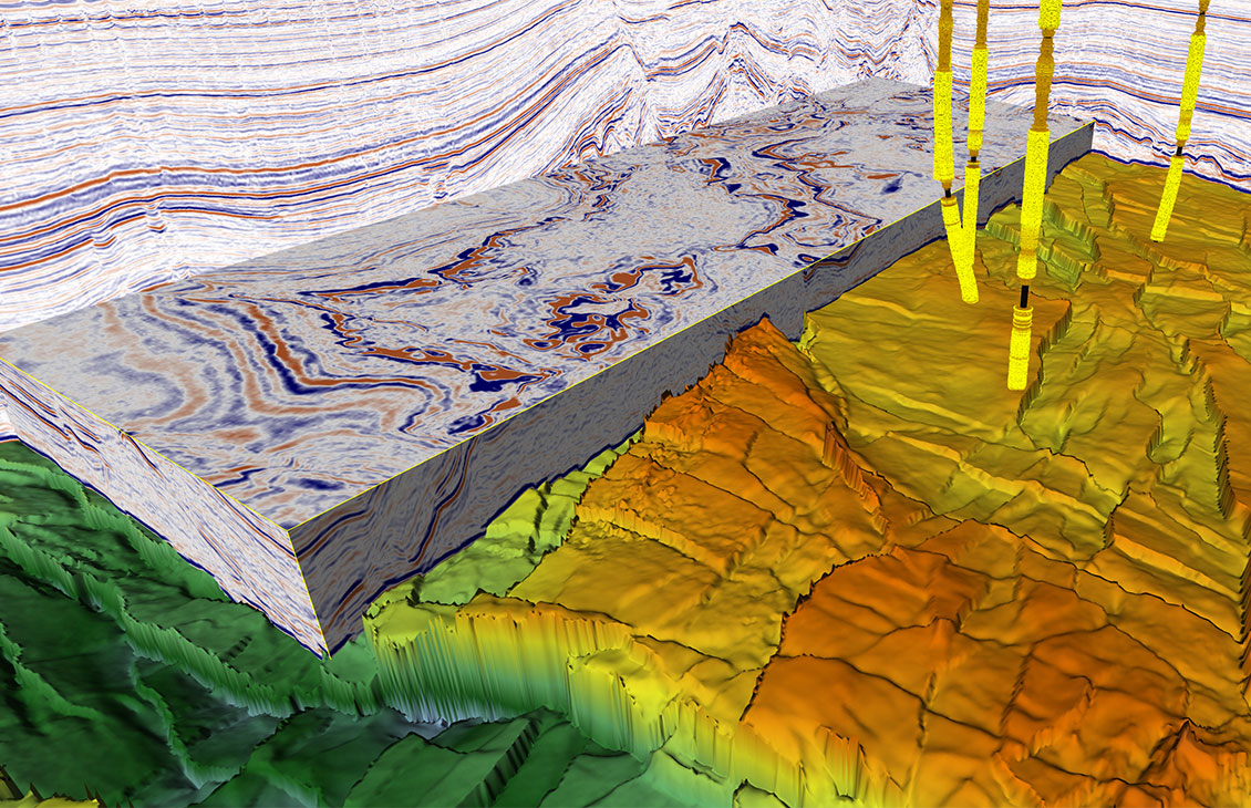
  • 3D visualization: Examine wells, surfaces, and interpretation objects in a three-dimensional view.
  • Production analysis tools: Group, plot, and compare production information to support asset evaluation.
Two people talking

Talk to an expert about Petra software

Let’s discuss your geological interpretation, mapping, volumetrics, and asset-evaluation workflows.

Contact us