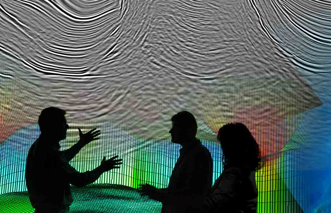
Full-Waveform Inversion
High-resolution velocity models for a range of E&P scenarios and geological settings
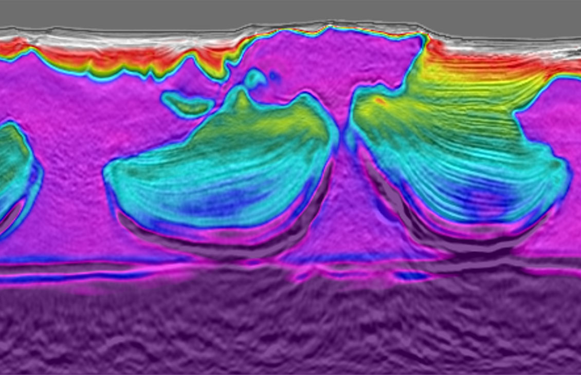
FWI uses a two-way wave equation to derive high-resolution velocity and anisotropy models from seismic data.


New Zealand’s decision to reopen offshore oil and gas exploration from September 2025 marks a major shift in energy policy, unlocking fresh opportunities across highly prospective frontier basins.
With extensive seismic coverage available, including high-quality 2D and 3D datasets across the Taranaki, East Coast, and Pegasus basins, explorers can now leverage this comprehensive data library to assess untapped hydrocarbon potential in a newly accessible landscape.
SLB is excited to support the reopening of hydrocarbon exploration in New Zealand, by offering the North Taranaki MC3D seismic survey. Final data products are now available for licensing.
Spanning 4,350 km², this high-resolution, broadband seismic survey targets the heart of New Zealand’s most prolific hydrocarbon-bearing region. Positioned along the same geologic trend as major discoveries to the south, including Pohokura and Turangi, the North Taranaki MC3D survey offers a unique opportunity to explore a proven yet underexplored petroleum system.
Combining 8 km acquisition offsets and advanced anisotropic depth model building, the dataset delivers depth-calibrated seismic volumes and AVO compliant products to support confident prospect identification and risk reduction.
With modern imaging revealing subtle structural and stratigraphic features, North Taranaki MC3D is ideally suited to unlock the next phase of exploration in the basin. Whether you are targeting conventional plays or investigating emerging opportunities, this dataset provides the clarity and depth needed to drive informed decisions.
North Taranaki MC3D is exclusively licensed by SLB. Contact us today to access the data and accelerate your exploration strategy.


Our Western Platform MC3D survey offers a modern, high-resolution seismic dataset designed to extend the exploration success of the Maui and Tui fields in New Zealand’s offshore Taranaki Basin.
Covering 6,500 km² of prime exploration acreage, this long-offset broadband 3D survey delivers enhanced imaging from the Miocene through to the Cretaceous, unlocking stacked exploration potential across multiple play types. The dataset features improved low-frequency content at deeper Lower Cenozoic and Cretaceous levels, enabling clearer delineation of subtle stratigraphic traps and deeper structural targets.
The Western Platform MC3D survey also provides superior imaging of shallow amplitude anomalies and complex near-surface stratigraphy, capturing the full spectrum of play types present in this underexplored region. With modern processing workflows and depth-calibrated volumes, the dataset is ideally suited to identifying new leads and refining existing prospects.
Licensed exclusively by SLB, Western Platform MC3D is your gateway to the next phase of exploration in one of New Zealand’s most prospective offshore basins.
Acquisition and imaging of the Western Platform MC3D survey is complete and final products are now available.
Contact us today for more information.


Covering the underexplored East Coast and Pegasus Basins offshore New Zealand’s North Island, this dataset offers a unique opportunity to unlock a frontier petroleum system. The region is supported by compelling evidence of hydrocarbon potential, including widespread onshore oil seeps, visible gas hydrates, and gas shows in all three offshore wells drilled to date—pointing to a potentially huge, yet largely untested, offshore petroleum system.
The Pegasus dataset includes:
Licensed exclusively by SLB, Pegasus MC2D and Pegasus MC3D provide a robust foundation for high-impact frontier exploration across the Asia-Pacific region.
Acquisition and imaging of our Pegasus MC2D and Pegasus MC3D seismic surveys are complete with final data products available for licensing.
Contact us today for more information.


Improve regional geologic understanding and reduce drilling risks
Contact us to learn more