Offshore Australia Otway Basin
Gain regional insights of the deepwater Otway Basin offshore Australia with >7,000 km2 of 2D seismic data.

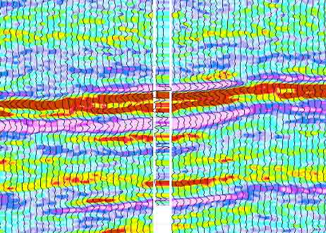
The overlap of play types at three discrete stratigraphic levels requires 3D imaging to map and derive reservoir properties and hydrocarbon volume estimates. We have two new 3D broadband datasets that provide complete regional coverage across this highly prospective basin.
The Northern Carnarvon Basin is a prolific gas province with inboard oil sweet spots. Despite significant resources identified to date, the basin remains one of the largest untapped areas of hydrocarbon potential in Australia.
Most hydrocarbon accumulations discovered to date are reservoired within the Upper Triassic, Jurassic, and Lower Cretaceous sandstones and sealed by the regional Cretaceous Muderong Shale seal.
Gas has been the main hydrocarbon discovery across the outboard Exmouth Plateau; however, recent significant liquid discoveries in the adjacent Bedout Subbasin allude to potential additional oil-prone petroleum systems. In partnership with TGS, Schlumberger is providing the first contiguous dataset across the Exmouth Plateau to enable seamless mapping across the region for the first time. In addition, recently completed basin modeling and subsurface characterization studies further aid in derisking both proven and untested play types in the area.
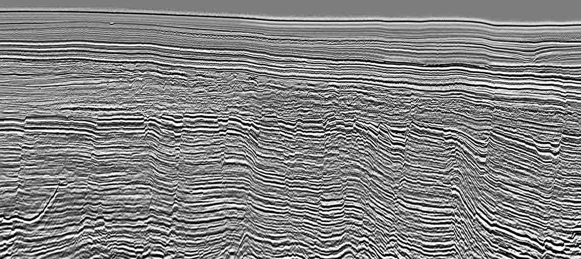
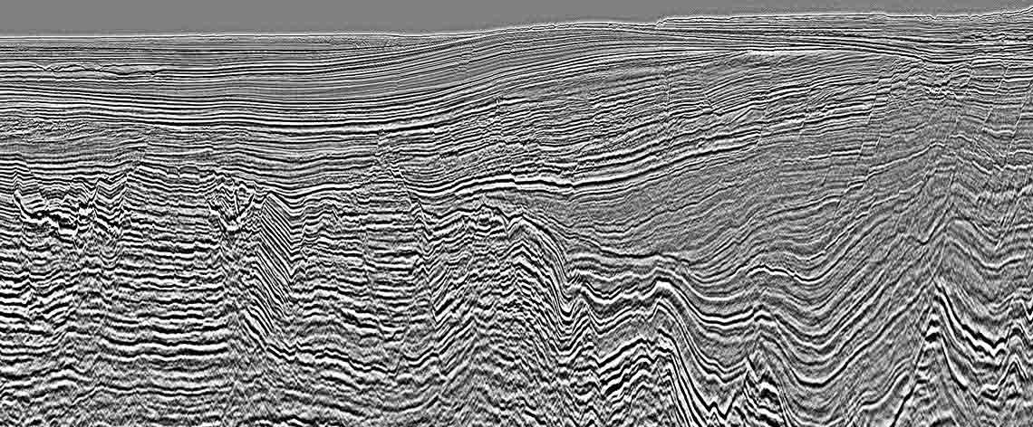
Our Exmouth 3D multimeasurement survey provides approximately 12,000 km2 of coverage in areas with significant potential for future acreage release and farm-in opportunities. The survey is fully broadband and has fullfold coverage on all survey edges. Due to the broadband nature of the data, we achieved significant reductions in residual multiple across the full record length.
The higher-resolution and improved frequency content of the data provides crisper imaging of shallow amplitude anomalies and complex stratigraphy, including carbonate sequences. Improved illumination and rich low-frequency content combine to provide enhanced imaging of deep basin structures, enabling detailed interpretation and analysis of both Triassic sequences and near-vertical Jurassic and Triassic faulting.