Career
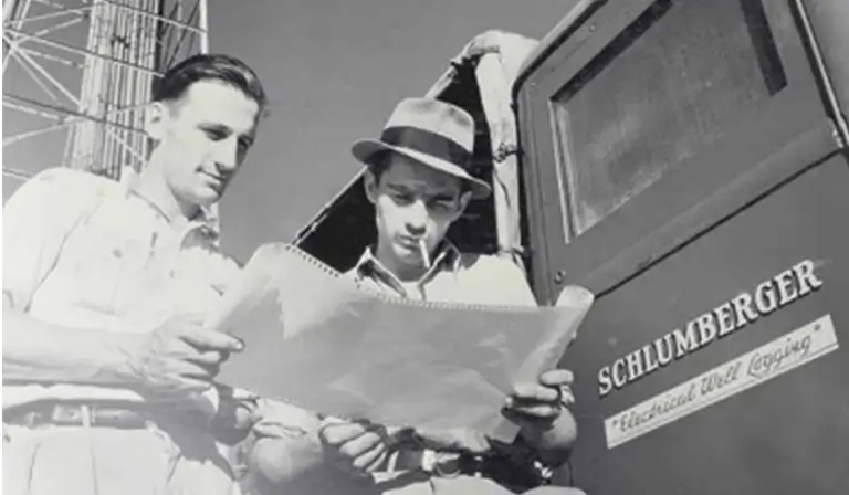
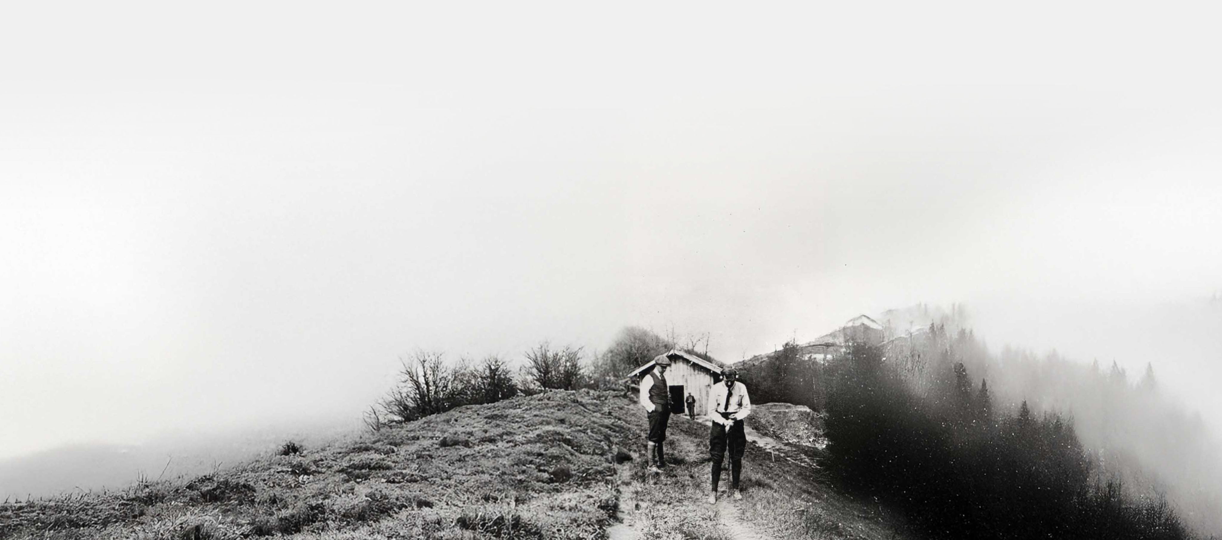
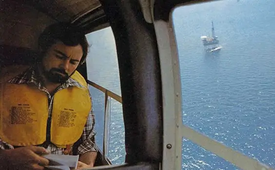
100 Years of Driving
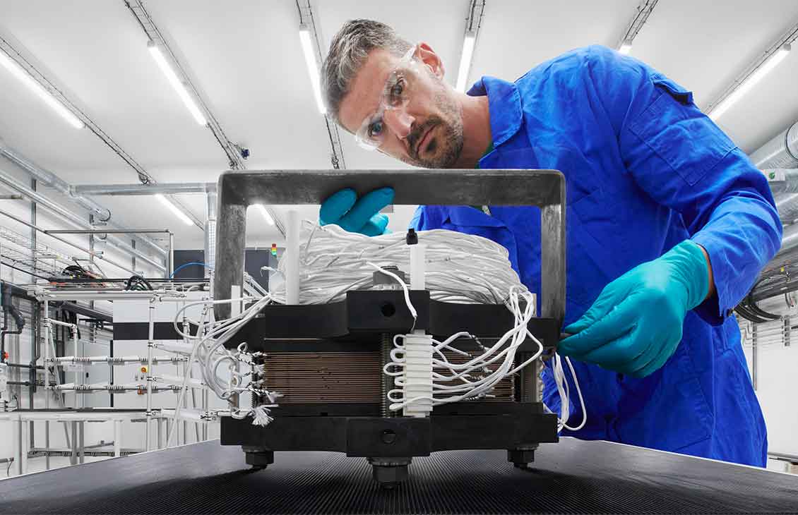
Energy Innovation
A hundred years behind us,
endless possibility ahead.

Throughout the last century, we’ve continually adapted to meet the evolving needs of our customers and partners, with innovation at our core.
Our centennial year is just the beginning. Follow along as we share new stories, insights, and innovations throughout the year, and be among the first to experience what’s next.
Scroll to discover more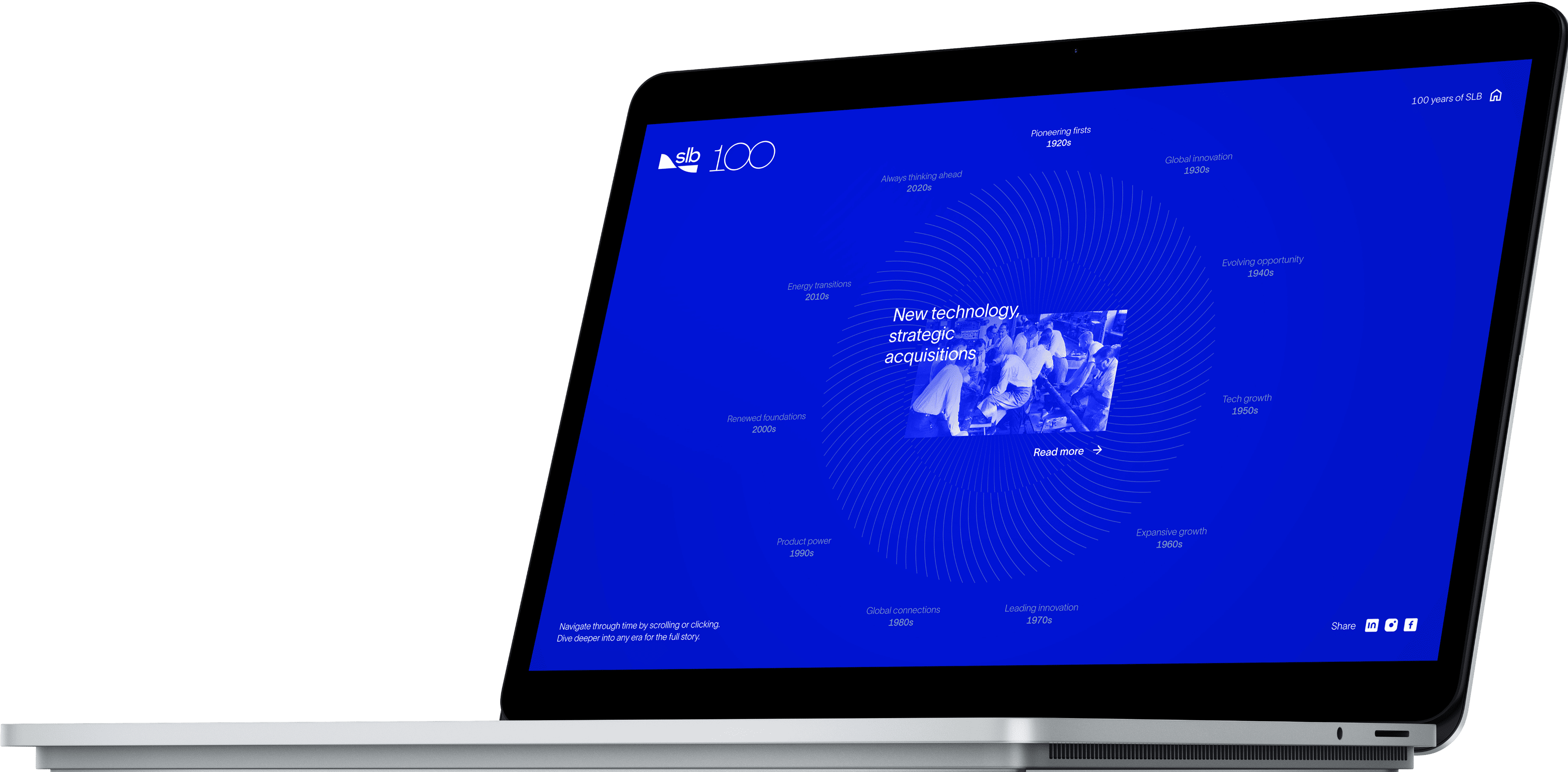
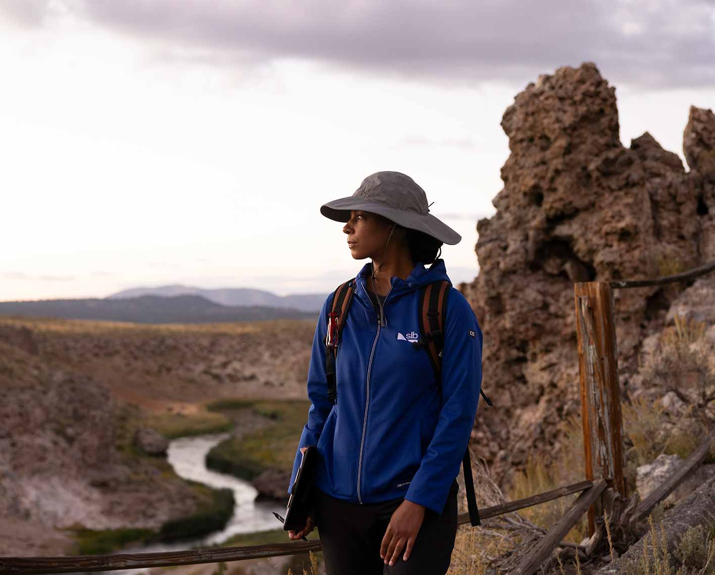
Explore our history
Explore a century of innovation
Journey through a century of SLB's story. Explore our boldest innovations, defining milestones, and lasting impact through an interactive experience. Discover how our rich history of progress and possibility continues to shape the future.
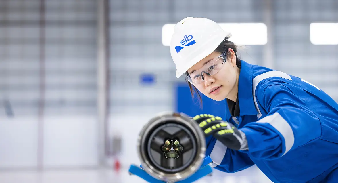
Stories
Our century, our stories
Great things – both big and small – happen every day at SLB. From creating and deploying innovative solutions to building a dynamic and inclusive team culture, working at SLB means working with purpose to make a positive impact.


Visit our museum
Enjoy an amazing immersive experience that depicts a century of energy innovation at our museum in Normandy, France.

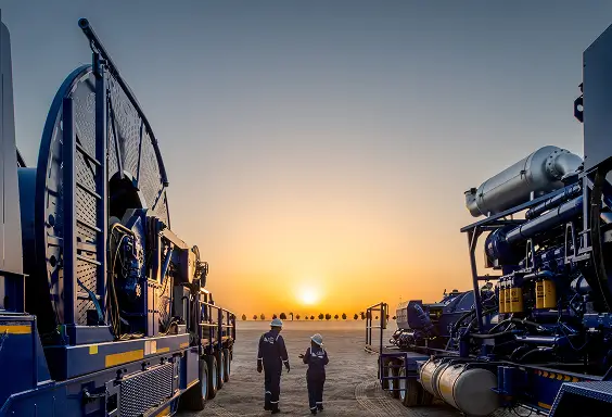
Driving energy innovation
We’re transforming the energy industry. Again.
We’ve revolutionized what energy can do throughout our history. Now, we’re ready for the next challenge. And what got us here—science, technology, and engineering—will be key to taking us where we need to go.