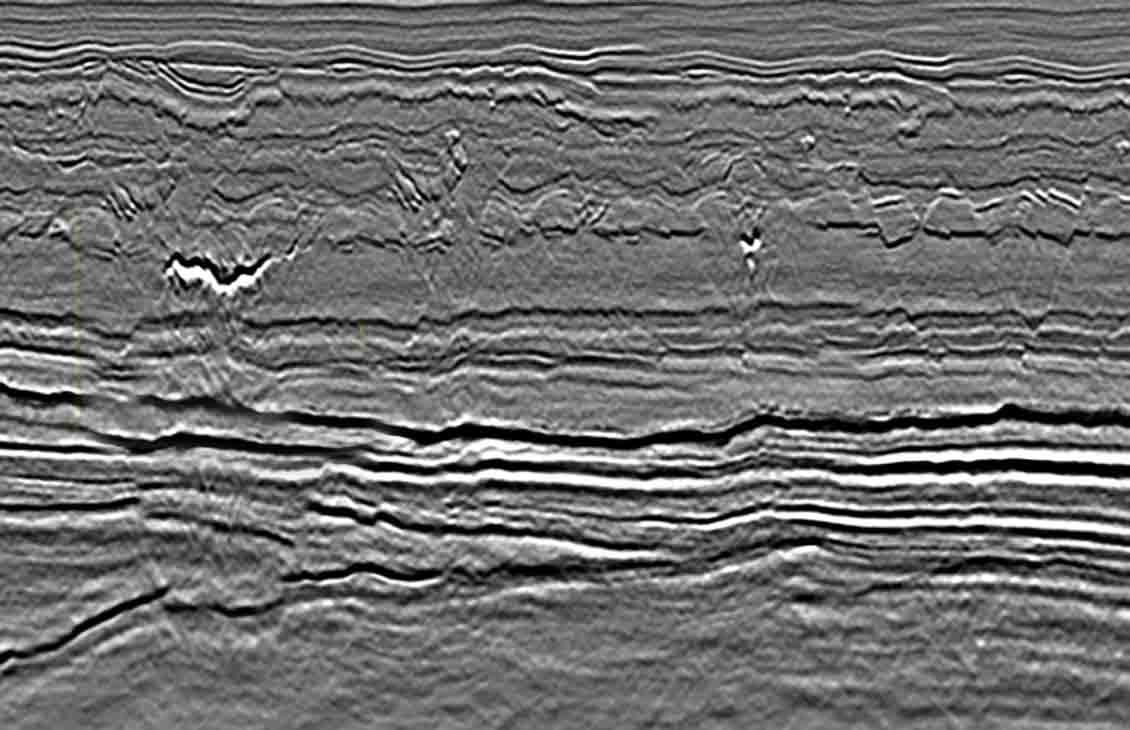
The survey area is on the west flank of the Loppa High and extends into the Bjørnøya Basin to the west. Ice Bear 1 covers the northern extension of the faulted Jurassic terraces—which are similar in character to those of the Skrugard and Havis discoveries—and includes a large Jurassic horst structure. The Cretaceous deposits farther west show submarine fans, clinoforms, and a collapsed anticline structure with incised buried river channels.
The Barents Sea 3D Ice Bear 2,400 km2 survey extends the West Loppa dataset to the north and west.
Geologic highlights
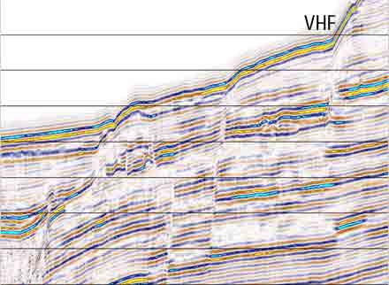
Complex terraces mark the rim of the Bjørnøya basin to the west and the Loppa High to the east; these are downthrown toward the basin center. Two dominant fault systems of Bjornoya fault complex control the structural framework and consequent deposition.
Eastern terraces slumping downward from the Loppa High are characterized by Triassic sediments progressively overlain to the west by a Jurassic section on downthrown terraces.
Westward, basin deposits consist of a thick Cretaceous section with clear evidence of stacked submarine fan systems within a thick marine shale section overlain by a Tertiary deltaic sequence that progrades from the northwest.
Both the Cretaceous and Tertiary plays are potential, as well as the prospective Jurassic and Triassic tilted fault blocks that are similar to the recently discovered Skrugard and Havis structures farther south.
Key highlights
Data was acquired using ten 7-km streamers and a 5,085-in3 airgun array
The data processing sequence was designed specifically to remove multiples and attenuate noise