Mexico
Multiclient data library
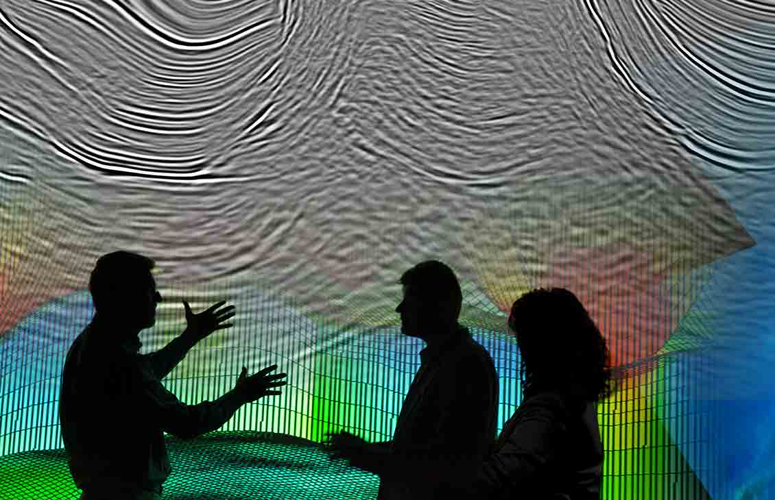
Make better-informed decisions during exploration and development phases and support farm-in opportunities.

Mexico’s highly prospective and complex deepwater subsurface geology represents a unique global opportunity. Modern WAZ acquisition will be the differentiating technology for effectively selecting the right blocks for the upcoming Mexican deepwater bid rounds. Our Campeche 3D WAZ broadband imaging project—covering 72,000 km2 of deepwater Mexico—will enable you to see subsalt formations that were previously hidden, illuminating the true potential of Mexico.

The Campeche reimaging program combines 80,000 km2 of narrow-azimuth (NAZ) surveys in this prospective basin. Using the latest SLB imaging technologies, we’re providing high-quality and cost-effective understanding of this area in advance of the upcoming bid rounds.

The DeepDive integrated subsurface evaluation for Campeche Mexico offshore area provides a comprehensive framework for regional understanding of the Salina del Istmo basin—accelerating your in-house evaluations. Powered by 72,000 km2 of high-quality broadband wide-azimuth (WAZ) seismic data, DeepDive evaluation encompasses a wide range of customized deliverables, such as basin-scale regional structure maps and play-segment analysis. Results from DeepDive evaluation enable your team to rapidly assess exploration potential and risks to prepare for competitive bid rounds and lay a solid foundation for future exploration work plans.