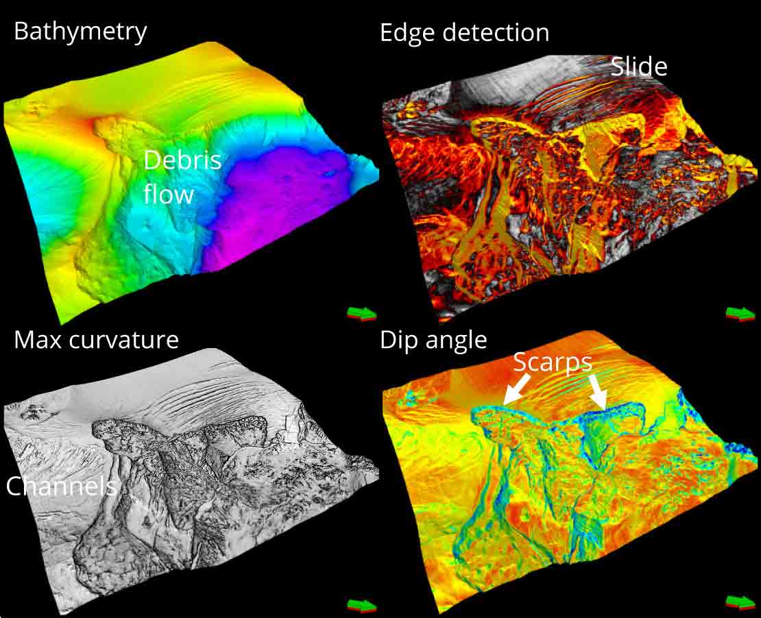
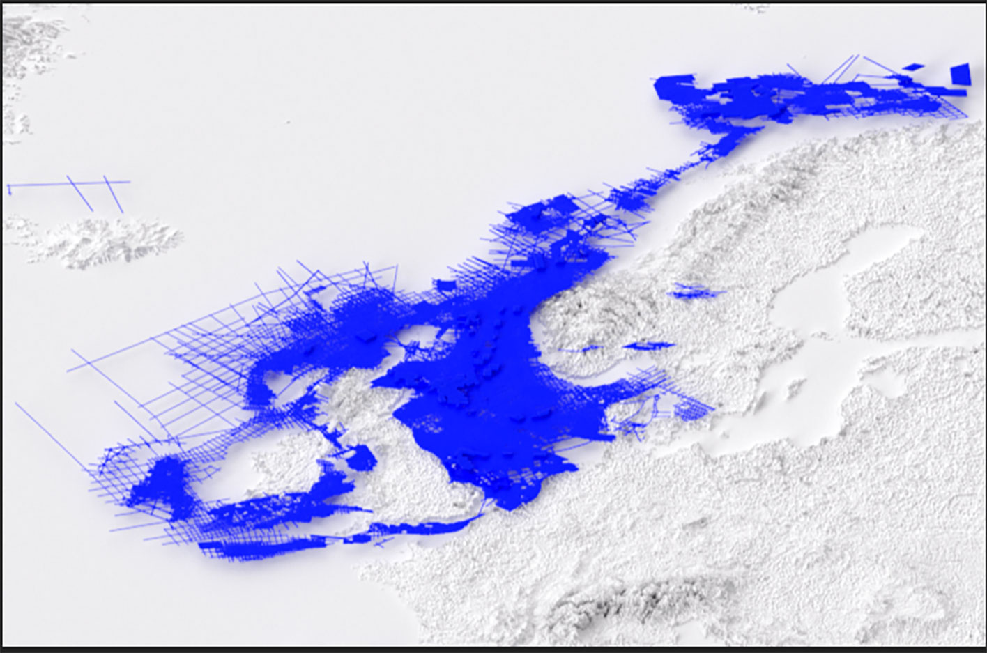
North Sea carbon storage opportunities
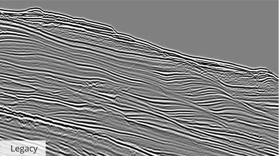
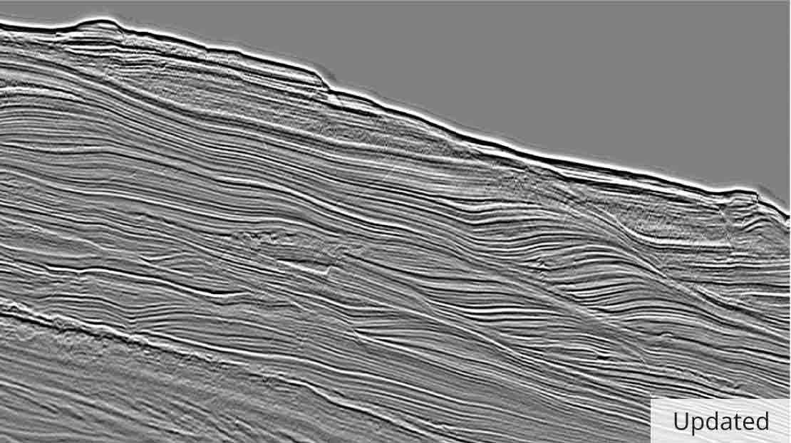
Accelerate your carbon storage projects with high-resolution 2D and 3D seismic data
Unlock confident carbon storage site selection with advanced seismic data ready for interpretation across the UK Continental Shelf.