PeriScope Edge
Multilayer mapping-while-drilling service
Achieve the highest confidence for precision steering decisions in razor-thin reservoirs.
Leveraging integrated multiwell measurements with various depths of investigation, our comprehensive multiscale structural interpretation services can enhance your decision making at every stage of the E&P life cycle—from guiding geosteering and confirming well placement to optimizing completions and field development strategies.
Our customized, actionable workflows are enhanced by high performance computing to provide scenario updates 20 times faster compared with traditional methods. Extract the maximum value from your borehole and reservoir measurements with

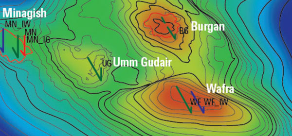
Cause of pressure decline in nonproducing wells confirmed, optimal water injection requirements identified
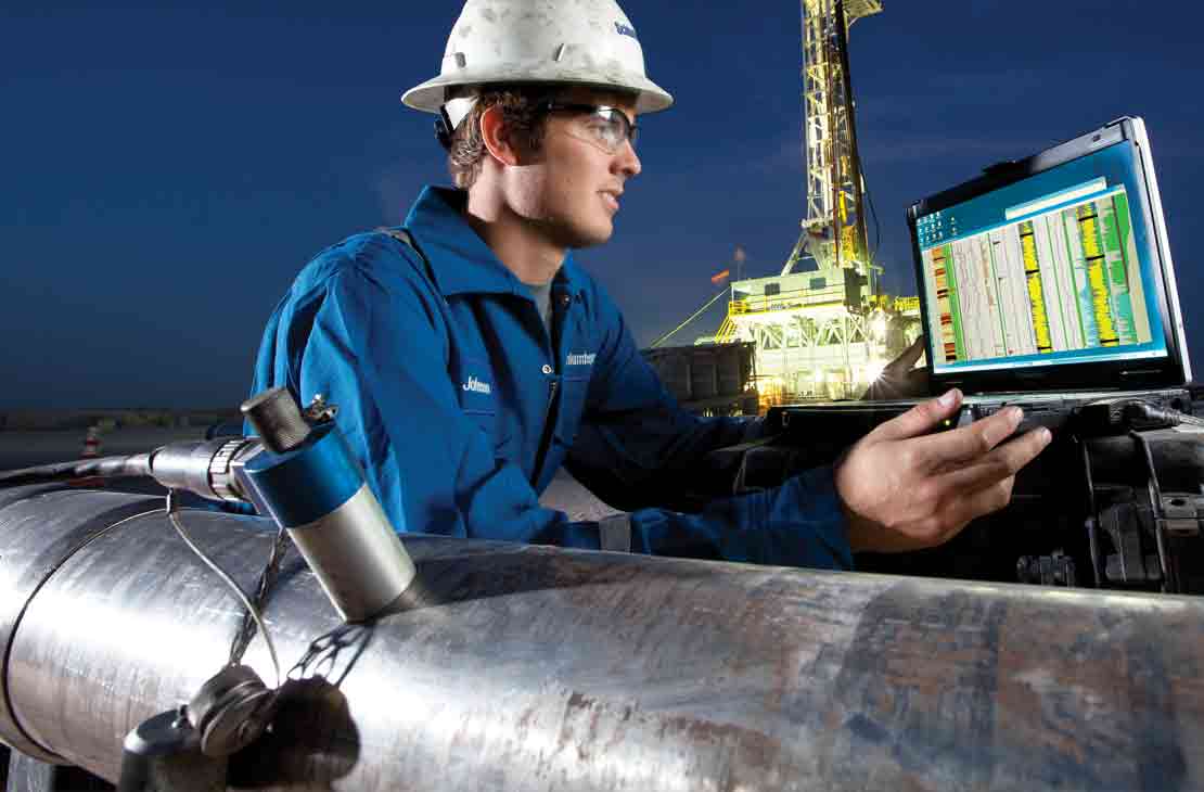
Read Case StudySchlumberger experts work with you to customize an actionable workflow that extracts the maximum value from your borehole and reservoir measurements.

Three-step workflow with LWD imaging and structural analysis.
Data loading and quality control
Software used to load and QC data enables accurate location of outputs, including dips, formation tops, faults, and surfaces in 3D space.
Dip picking
From the borehole image, we perform a manual dip picking of sedimentary and tectonic features.
Structural analysis
We then characterize major tectonic structures—such as monoclines, folds, and unconformities—based on arrow plots, dip vector plots, and stereonet plots of the bedding dips.
True stratigraphic thickness correlations and fault-throw characterization
To improve the correlation process, we compute TST and stratigraphic drilling polarity. Major faults are among the first fractures characterized by structural analysis, and TST correlations enable us to estimate the amount of missing or repeat sections introduced by the fault throw.
Interpretation of formation surfaces from deep-reading EM
As part of the advanced workflow, we can log the borehole image in combination with a deep-reading EM such as the GeoSphere HD high-definition reservoir mapping-while-drilling service, which maps a depth of investigation that exceeds 250 ft [76 m]—the largest in the industry.
3D near-well structural modeling
As a final step 3D, modeling is applied to a single well or multiple wells.