Quanta Geo
Photorealistic reservoir geology service
Truly visually represent formation geology with core-like images in oil-based mud.
Published: 11/13/2015

Published: 11/13/2015
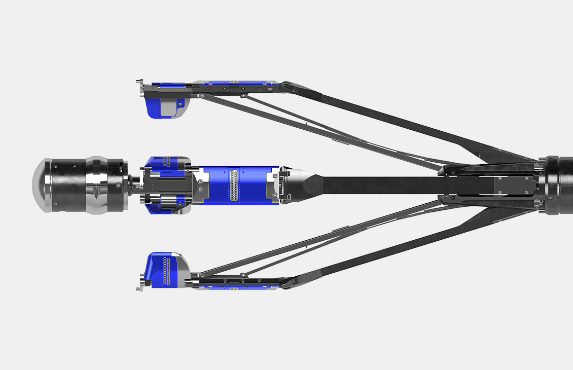
Downhole image logs help geologists identify and analyze reservoir features and stratigraphy.
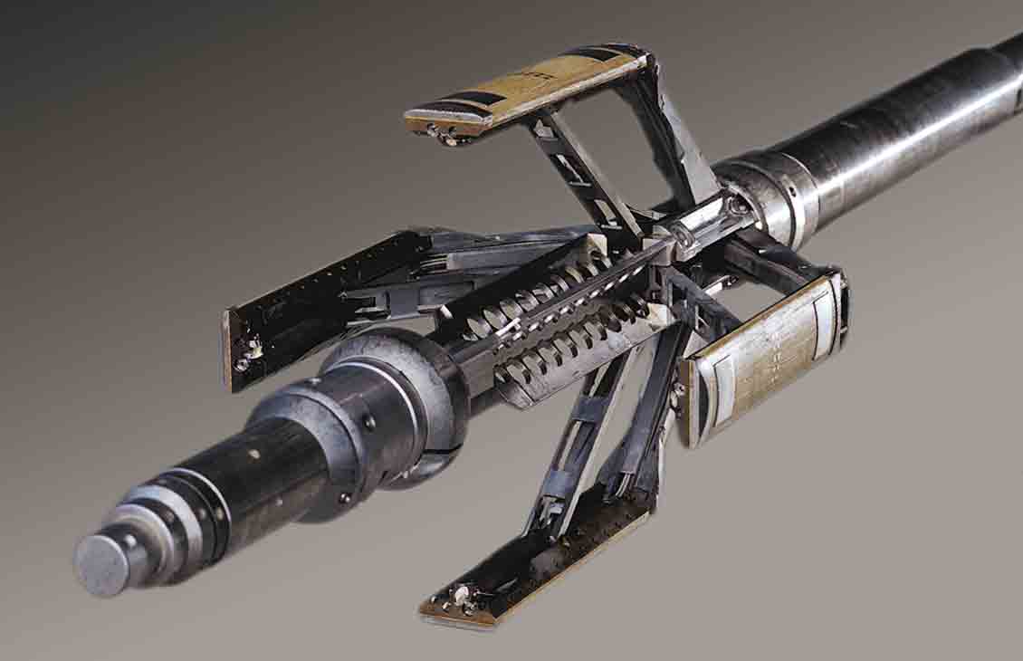
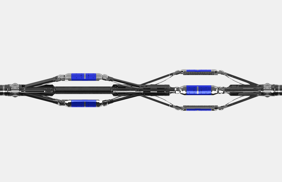
Imaging tools evolved from dipmeter tools—wireline conveyed devices designed to determine formation geometry and structural properties. They provide data that allow geologists to visualize structural and stratigraphic features. In the 1980s, Schlumberger introduced one of the industry's first borehole imaging tools—the FMS Formation MicroScanner service.
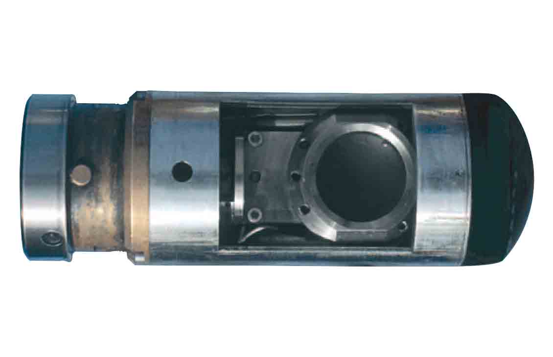
Because of the electrical insulating properties of oil-base mud (OBM), obtaining useful images in wells drilled using OBM was challenging, and the results were often less informative than in those drilled using water-base mud (WBM) systems.
Recently, engineers at Schlumberger introduced the Quanta Geo photorealistic reservoir geology service, which provides photorealistic images of wellbores drilled using OBM. Interpretations of image data from wells drilled using OBM systems help geologists fill the knowledge gap and aid them in optimizing well placement.
An article in Oilfield Review, “Imaging: Getting the Picture Downhole,” describes the development of an imaging tool able to deliver images in wells drilled using OBM systems, that are comparable to those drilled using WBM. Case studies from deepwater and unconventional wells demonstrate the capability of the new Quanta Geo photorealistic reservoir geology service.
Oilfield Review is the Schlumberger flagship journal of technology, innovation and the science of E&P.
Brown, J., Davis, B., Gawanker, K, Kumar, A., Li, B., Miller, C.K., Larong, R. and Schlict, P.: “Imaging: Getting the Picture Downhole” Oilfield Review (September 2015) 27, No. 2: 4–21.