TruSight
Intelligent slimhole MWD service
Eliminates static survey time and unlocks high-speed telemetry in challenging environments

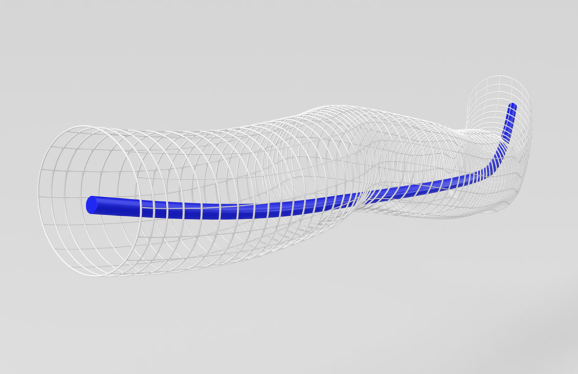
Conventional measurements-while-drilling (MWD) surveys require a stationary drillstring, adding rig time and allowing cuttings to accumulate while building the curve, which can reduce rate of penetration (ROP) and increase stuck-pipe risk. The TruLink™ definitive dynamic survey-while-drilling service takes definitive surveys on bottom while the bottomhole assembly (BHA) drills, from tophole to total depth (TD). Conventional definitive surveys take 9 to 12 minutes per stand, while TruLink service reduces survey-related rig time to zero.
Because every survey arrives in real time, directional drillers can adjust steering continuously, reducing dogleg severity and tortuosity in complex 3D well profiles. In qualification runs with Saudi Aramco, TruLink service data matched static surveys to within 0.5° inclination and 1° azimuth across vertical, curve, and lateral sections.
Less time on the rig also helps operators manage rig engine CO2 emissions. TruLink service is part of the Transition Technologies™ portfolio for decarbonizing drilling and completions, and is one of the measurements-while-drilling services.
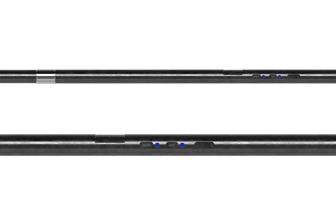
TruLink service combines a best-in-class six-axis direction-and-inclination (D&I) sensor, high-rate telemetry, and formation measurements, so each survey supports a steering decision while the bit is on bottom. The result is a tighter, more accurate curve and more efficient drilling to TD.
Operators have used TruLink service for dynamic survey while drilling in qualification wells, congested offshore fields, and record-length sections. Field applications show how continuous survey data can match static survey accuracy, identify trajectory differences in real time, and improve well placement across complex well paths.
In three Saudi Aramco qualification wells covering vertical, curve, and lateral profiles, TruLink service data stayed within 0.5° inclination and 1° azimuth of static surveys and inside the error models.
In the Middle East, comparing stationary surveys with TruLink service data revealed a 10-ft true vertical depth (TVD) difference while landing an 8 1/2-in curve.
In the offshore Middle East, more than 300 hours of technical analysis combining TruLink and GyroLink services improved well placement in a congested field, enabling wells previously deemed undrillable.
A definitive dynamic survey is a definitive-quality directional survey taken while the BHA drills on bottom, instead of while the drillstring is held stationary. The SLB TruLink service delivers these surveys using continuous six-axis directional and inclination sensors at every point in the well. Drillers get real-time trajectory data without stopping to survey.
Conventional definitive surveys take 9 to 12 minutes per stand, and on long wells that time can add up to days. SLB reports that the TruLink service reduces survey-related rig time to zero because surveys are taken on bottom launch announcement. In qualification work, Saudi Aramco projected avoiding about 2 months of survey time.
Field qualification shows they can match. In three Saudi Aramco qualification wells, SLB TruLink service surveys fell within 0.5° inclination and 1° azimuth of static surveys and inside the respective error models. In the lateral run, the data matched 311 pumpdown gyro continuous multishot surveys.
The combination is useful in almost all well types, providing independent survey verification to help eliminate gross errors, particularly in congested fields, anticollision work, and long critical sections where wellbore position uncertainty limits the well plan. Offshore Middle East, SLB paired TruLink and GyroLink services to enable wells previously deemed undrillable. In the North Sea, the same pairing with OmegaX Gyro dual-gyroscope data supported the longest 12 1/4-in section attempted in the region.
TruLink service removes survey-related rig time, and less rig time means less rig engine fuel burned. That helps operators manage well construction CO2 emissions. SLB includes TruLink service in its Transition Technologies portfolio for decarbonizing drilling and completions.
The Rotating 6-axis Magnetic Survey Error Model was released by the Industry Steering Committee on Wellbore Survey Accuracy (ISCWSA), with a toolcode template outlining the error sources expected to emerge when taking a magnetic survey in a rotating reference frame.

TruLink service had more than 70 deployments across the Middle East, the North Sea, and South America at its 2020 launch. SLB measurements-while-drilling teams can help you build surveying while drilling into your well plan from tophole to TD.
Talk to an MWD expert
The content of this publication has not been approved by the United Nations and does not reflect the views of the United Nations or its officials or Member States.