Kirchhoff Prestack Depth and Time Migration
The most widely used migration algorithm in the industry
Accommodate a range of geological settings and acquisition geometries with flexible, amplitude-preserving implementation.
Image post- and presalt targets to improve your prospectivity assessments and field development decisions


WesternGeco, in a joint venture with TGS, has more than 9,000 km to assess exploration plays in the 16th bid round. This includes blocks in the central margin of Brazil covering the Camamu-Almada and Jequitinhonha Basins. The coverage of the 2D data provides a regional framework to help understand the complex subsurface structural picture and assist with initial exploration approaches.
The 6th presalt auction and 16th bidding round blocks in the Santos and Campos Basins have structural and stratigraphic complexities that require high-quality seismic imaging technologies to illuminate key structural features of the reservoir. WesternGeco, in a joint venture with TGS, has more than 127,000 km of prestack depth migration (isotropic and TTI anisotropic) 2D data available in the southeastern margin of Brazil, covering the Santos, Campos, and Espirito Santo Basins.
Within the presalt polygon of Santos Basin, we have acquired high-definition 3D surveys. These high-definition, 4D-ready surveys cover approximately 10,595 km2 of the Santos Basin and include prestack depth migration final volumes. The high-density acquisition (50-m cable separation), acquisition direction, and intrasalt tomography help you overcome the challenges of presalt imaging. The high-quality image achieved from these processes enable a more confident subsurface evaluation, leading to more effective exploration, appraisal, and drilling decisions.

The most relevant available data for bid rounds worldwide.
Gain access to the most relevant data available for bid rounds spanning the globe—from North America to the Middle East to Europe. Get the competitive advantage you need to select the best available prospects to meet the exploration goals of your operation.

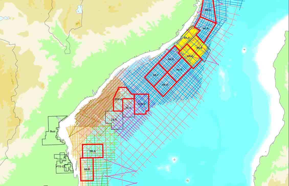
License an extensive library of 2D and 3D seismic data covering the entirety of offshore Mozambique. View

Illuminate the Sépia and Atapu presalt fields with HD seismic data to accelerate exploration and appraisal. View

Illuminate the subsurface of the Campos, Pelotas, Potiguar, and Santos Basins with 2D and 3D seismic data. View

Explore brownfield, greenfield, and frontier prospects in the Western Desert, Gulf of Suez, and Mediterranean. View

Enhance your prospectivity assessments in Block SB 2T offshore Sabah, Malaysia. View

Enter this frontier basin during its early stages of development. View

Discover an underexplored region with significant potential for hydrocarbon-bearing reservoirs. View

Enhance your onshore Mexico prospectivity assessments. View

Image post- and presalt targets to improve your prospectivity assessments and field development decisions. View